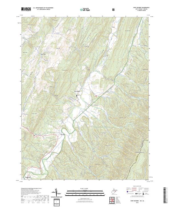
2023 Map of Fort Seybert
USGS Topo · Published 2023About this map
Fort Seybert and the surrounding valley of the South Fork South Branch Potomac River define this portion of Pendleton County. The settlement patterns follow the winding waterways and mountain gaps, with small communities like Oak Flat, Brandywine, and Deer Run situated along the valley floors. The map reveals a high concentration of family-named gaps and knobs, such as Dean Gap and Nesselrod Knob, which indicate a long-standing local history of land ownership and mountain navigation.
Find a feature on this map
89 named features on this map. Tap any name to fly to it.
Don’t see what you’re looking for? This feature index may not catch every label — zoom into the map to look around manually.
Map Details
Editions of this 2023 Fort Seybert Map
This is the sole edition of this map. No revisions or reprints were ever made.
Other maps of this area

1892 · Franklin
USGS Topo · 1:125,000

1896 · Franklin
USGS Topo · 1:125,000

1920 · Petersburg
USGS Topo · 1:48,000

1920 · Onego
USGS Topo · 1:62,500

1921 · Petersburg
USGS Topo · 1:48,000

1921 · Onego
USGS Topo · 1:48,000

1922 · Onego
USGS Topo · 1:62,500

1922 · Fort Seybert
USGS Topo · 1:48,000

1922 · Petersburg
USGS Topo · 1:62,500

1922 · Circleville
USGS Topo · 1:62,500