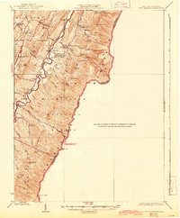
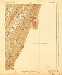
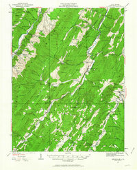
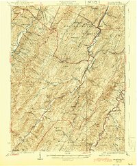
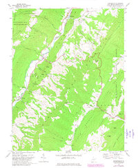
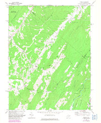
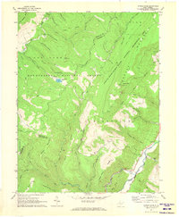
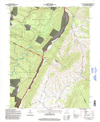
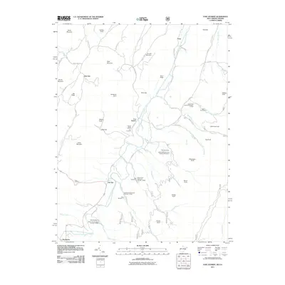
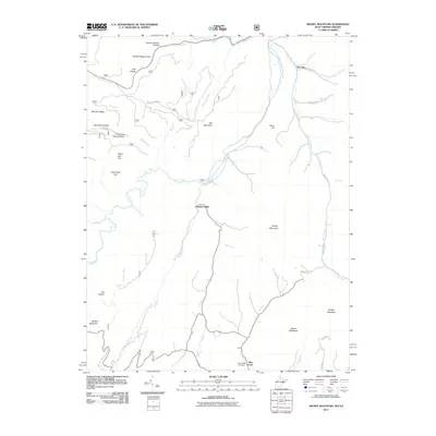
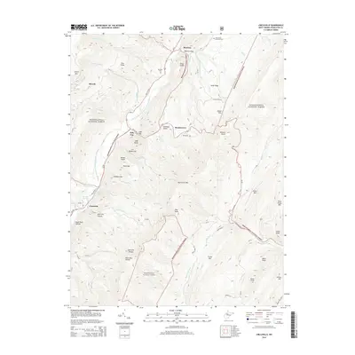
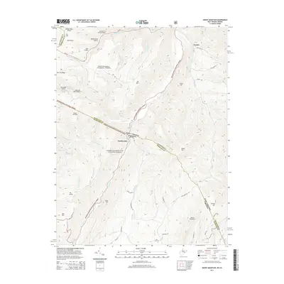
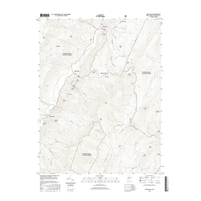
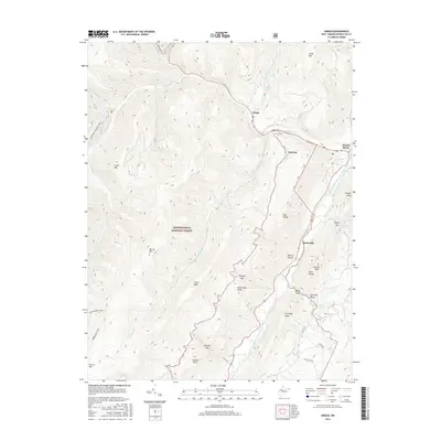
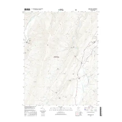
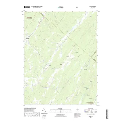
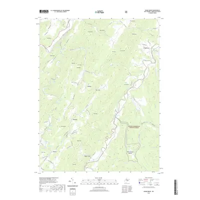
1924 Map of Fort Seybert
USGS Topo · Published 1944About this map
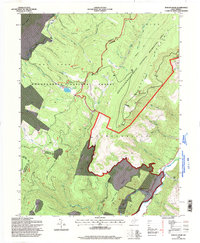
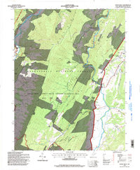
The South Fork Potomac River carves a deep valley through the Pendleton County highlands, creating a landscape defined by parallel ridges like South Fork Mountain and Shenandoah Mountain. This 1924 survey (reprinted 1944) captures a rural West Virginia community shaped by its topography, where settlements like Fort Seybert and Brandywine serve as local hubs for a network of valley farms. The map reveals a high density of small-scale social infrastructure, including numerous educational sites like Deer Run School and Locust Grove School, alongside country chapels such as New Bethel Church. Significant portions of the eastern slopes are protected within the George Washington National Forest, while individual peaks like Nesselrod Knob and Mitchell Knob watch over the winding runs and rocky gaps of the South Fork watershed.
Find a feature on this map
62 named features on this map. Tap any name to fly to it.
Don’t see what you’re looking for? This feature index may not catch every label — zoom into the map to look around manually.
Map Details
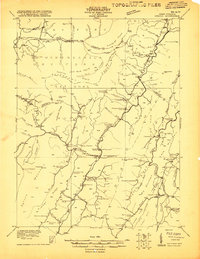
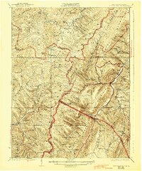
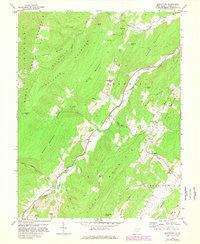
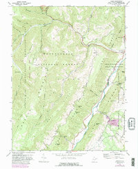
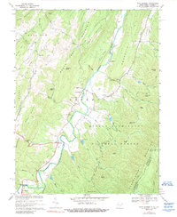
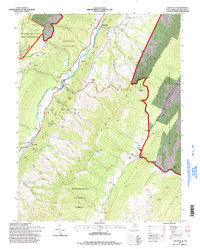
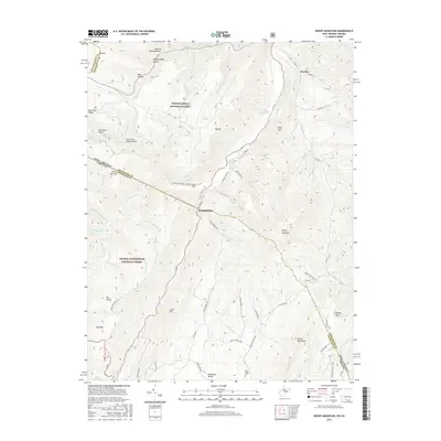
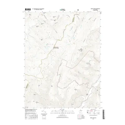
Editions of this 1924 Fort Seybert Map
3 editions found

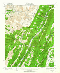
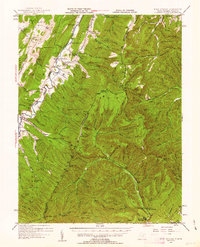
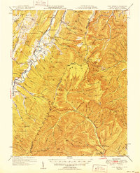
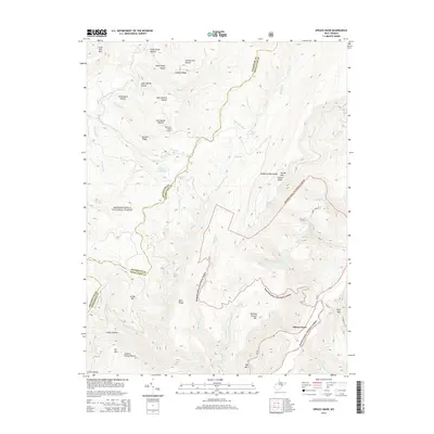
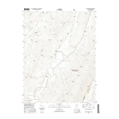
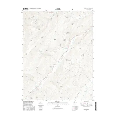
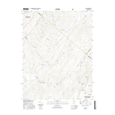
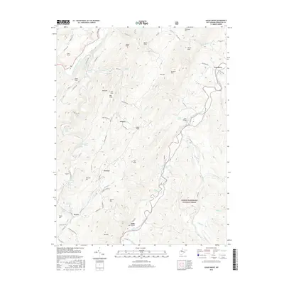
Historical Maps of Deer Run Through Time
71 maps found
1920 Onego
Pendleton County, WV
1921 Onego
Pendleton County, WV
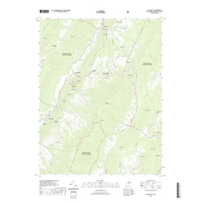
1922 Circleville
Pendleton County, WV
1922 Fort Seybert
Pendleton County, WV
1922 Onego
Pendleton County, WV
1922 Spruce Knob
Pendleton County, WV
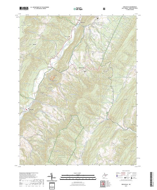
1924 Circleville
Pendleton County, WV
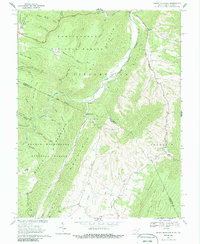
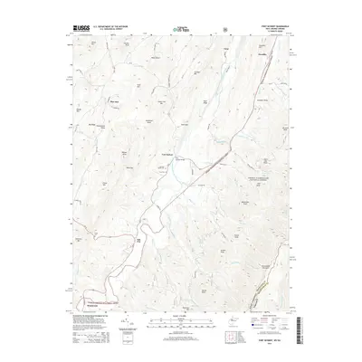
1924 Fort Seybert
Pendleton County, WV
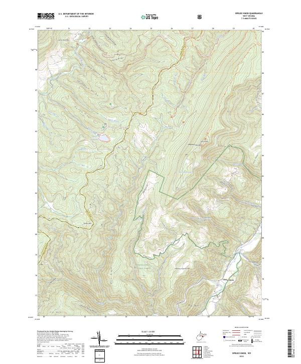
1924 Spruce Knob
Pendleton County, WV
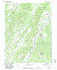
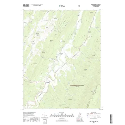
1947 Fort Seybert
Pendleton County, WV
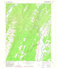
1951 Fort Seybert
Pendleton County, WV
1968 Circleville
Pendleton County, WV
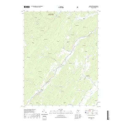
1968 Moatstown
Pendleton County, WV
1968 Onego
Pendleton County, WV
1969 Fort Seybert
Pendleton County, WV
1969 Mozer
Pendleton County, WV
1969 Snowy Mountain
Pendleton County, WV
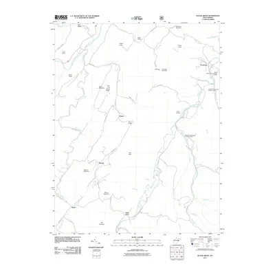
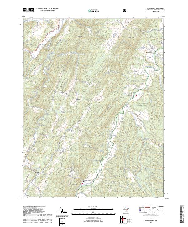
1969 Sugar Grove
Pendleton County, WV
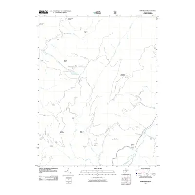
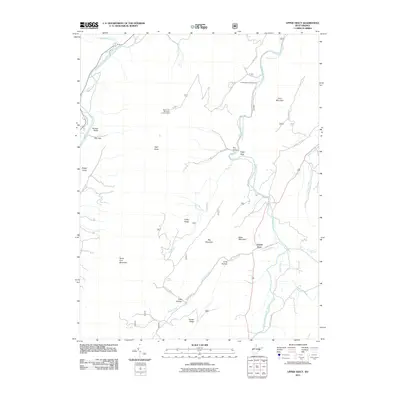
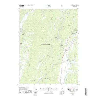
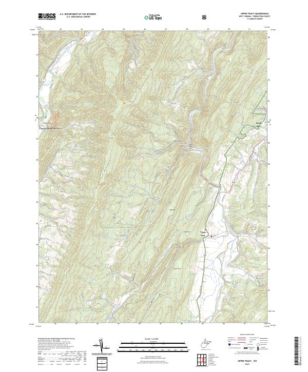
1969 Upper Tract
Pendleton County, WV
1970 Spruce Knob
Pendleton County, WV
1995 Circleville
Pendleton County, WV
1995 Mozer
Pendleton County, WV
1995 Onego
Pendleton County, WV
1995 Snowy Mountain
Pendleton County, WV
1995 Spruce Knob
Pendleton County, WV
1995 Upper Tract
Pendleton County, WV
2011 Circleville
Pendleton County, WV
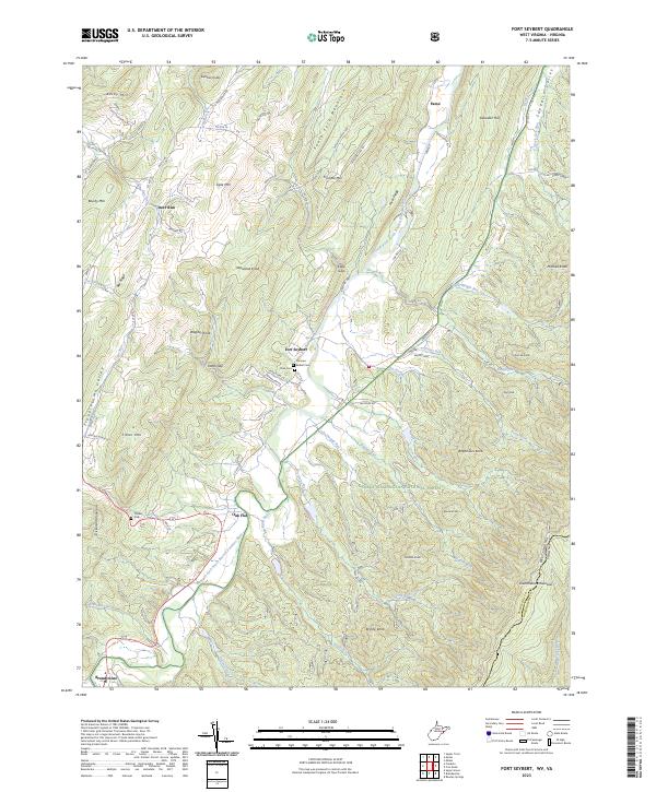
2011 Fort Seybert
Pendleton County, WV
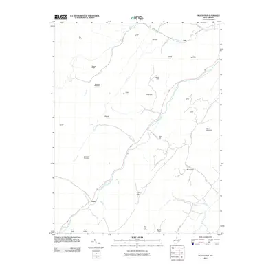
2011 Moatstown
Pendleton County, WV
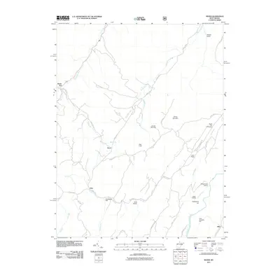
2011 Mozer
Pendleton County, WV
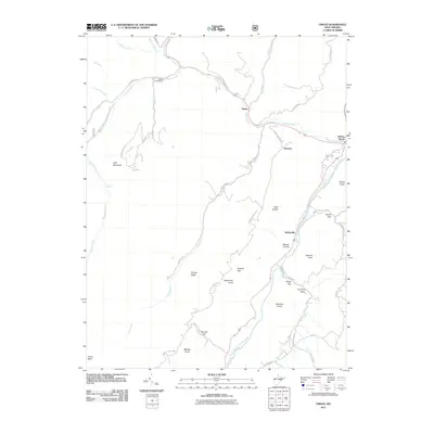
2011 Onego
Pendleton County, WV
2011 Snowy Mountain
Pendleton County, WV
2011 Spruce Knob
Pendleton County, WV
2011 Sugar Grove
Pendleton County, WV
2011 Upper Tract
Pendleton County, WV
2014 Circleville
Pendleton County, WV
2014 Fort Seybert
Pendleton County, WV
2014 Moatstown
Pendleton County, WV
2014 Mozer
Pendleton County, WV

2014 Onego
Pendleton County, WV
2014 Snowy Mountain
Pendleton County, WV
2014 Spruce Knob
Pendleton County, WV
2014 Sugar Grove
Pendleton County, WV
2014 Upper Tract
Pendleton County, WV
2016 Circleville
Pendleton County, WV
2016 Fort Seybert
Pendleton County, WV
2016 Moatstown
Pendleton County, WV
2016 Mozer
Pendleton County, WV
2016 Onego
Pendleton County, WV
2016 Snowy Mountain
Pendleton County, WV
2016 Spruce Knob
Pendleton County, WV
2016 Sugar Grove
Pendleton County, WV
2016 Upper Tract
Pendleton County, WV
2019 Circleville
Pendleton County, WV
2019 Fort Seybert
Pendleton County, WV
2019 Moatstown
Pendleton County, WV
2019 Mozer
Pendleton County, WV
2019 Onego
Pendleton County, WV
2019 Snowy Mountain
Pendleton County, WV
2019 Spruce Knob
Pendleton County, WV
2019 Sugar Grove
Pendleton County, WV
2019 Upper Tract
Pendleton County, WV
2023 Circleville
Pendleton County, WV
2023 Fort Seybert
Pendleton County, WV
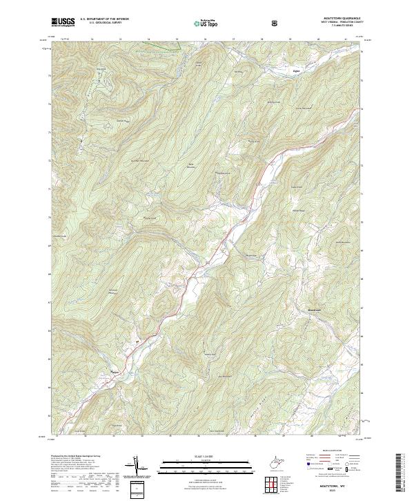
2023 Moatstown
Pendleton County, WV
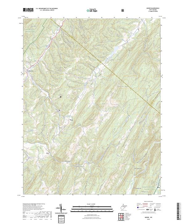
2023 Mozer
Pendleton County, WV
2023 Onego
Pendleton County, WV
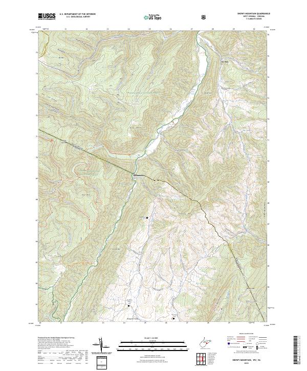
2023 Snowy Mountain
Pendleton County, WV
2023 Spruce Knob
Pendleton County, WV
2023 Sugar Grove
Pendleton County, WV
2023 Upper Tract
Pendleton County, WV