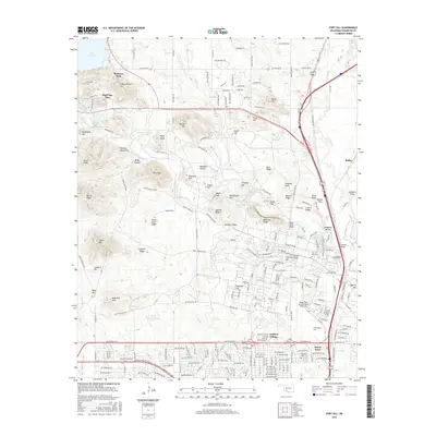
2016 Map of Fort Sill
USGS Topo · Published 2016About this map
Medicine Park and the rugged eastern reaches of the Wichita Mountains anchor this 2016 survey of Comanche County. The map is defined by the significant military footprint of Fort Sill, centered around the Henry Post Army Airfield. The landscape is a complex mix of training grounds and historical sites, including the Fort Sill Post Cem and the Indian Agenc Cem. Prominent natural features like the Medicine Bluffs and Lake Lawtonka provide a stark contrast to the modern residential development at Artillery Village and Sneed Acres.
Find a feature on this map
224 named features on this map. Tap any name to fly to it.
Don’t see what you’re looking for? This feature index may not catch every label — zoom into the map to look around manually.
Map Details
Editions of this 2016 Fort Sill Map
This is the sole edition of this map. No revisions or reprints were ever made.
Other maps of this area
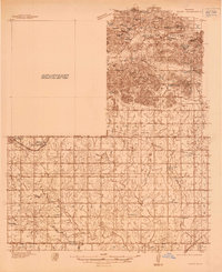
1937 · Cache
USGS Topo · 1:48,000
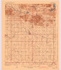
1942 · Cache
USGS Topo · 1:62,500
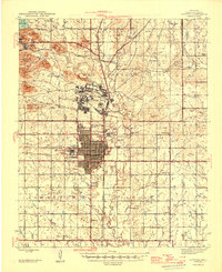
1946 · Lawton
USGS Topo · 1:62,500
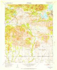
1949 · Mount Scott
USGS Topo · 1:24,000
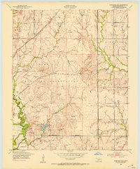
1949 · Arbuckle Hill
USGS Topo · 1:24,000
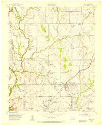
1949 · Elgin
USGS Topo · 1:24,000
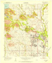
1949 · Fort Sill
USGS Topo · 1:24,000
1950 · Saddle Mountain
USGS Topo · 1:62,500

1955 · Lawton
USGS Topo · 1:250,000
1956 · Ninemile Creek
USGS Topo · 1:24,000