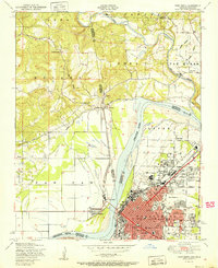
1951 Map of Fort Smith
USGS Topo · Published 1951About this map
Fort Smith serves as the regional anchor in this early 1950s survey, illustrating a dense urban grid of residential streets and industrial rail lines. The city's landscape is dotted with civic and religious landmarks such as St Boniface Church and School, the National Cemetery, and the Twin City Hospital. The geography is defined by the sweeping curve of the Arkansas River, which acts as the state boundary between Arkansas and Oklahoma.
Find a feature on this map
55 named features on this map. Tap any name to fly to it.
Don’t see what you’re looking for? This feature index may not catch every label — zoom into the map to look around manually.
Map Details
Editions of this 1951 Fort Smith Map
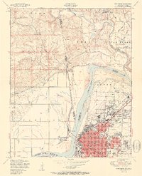
2 editions found
Other maps of this area

1879 · Fort Smith
USGS Topo · 1:62,500

1887 · Van Buren
USGS Topo · 1:62,500

1890 · Fort Smith
USGS Topo · 1:125,000

1898 · Winslow #3
USGS Topo · 1:62,500

1898 · Tahlequah
USGS Topo · 1:125,000

1898 · Winslow
USGS Topo · 1:125,000

1900 · Sallisaw
USGS Topo · 1:125,000

1901 · Winslow
USGS Topo · 1:125,000

1901 · Tahlequah
USGS Topo · 1:125,000

1905 · Tahlequah
USGS Topo · 1:125,000