
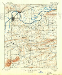
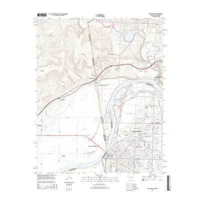
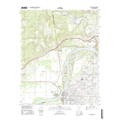
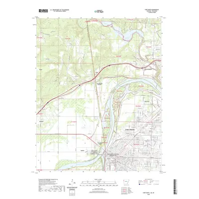
1976 Map of Fort Smith
USGS Topo · Published 1978About this map
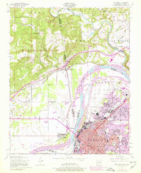
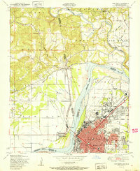
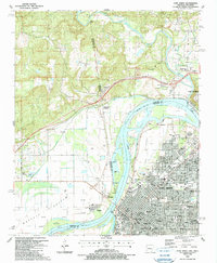
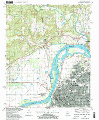
Arkansas River currents define the border and the landscape in this mid-1970s orthophotoquad, where the urban grid of Fort Smith meets the agricultural bottomlands of eastern Oklahoma. This photographic survey reveals the striking contrast between the dense residential and industrial blocks of the city and the geometric patterns of the fields across the water near Moffett and Roland. The imagery captures the critical junction of regional transportation and water, including the winding course of Lee Creek as it approaches the main river channel. Smaller settlements like Dora are visible north of the river, showing the rural development patterns of the era before significant suburban expansion altered the local geography.
Find a feature on this map
6 named features on this map. Tap any name to fly to it.
Don’t see what you’re looking for? This feature index may not catch every label — zoom into the map to look around manually.
Map Details
Editions of this 1976 Fort Smith Map
This is the sole edition of this map. No revisions or reprints were ever made.
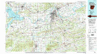
Historical Maps of Fort Smith Through Time
18 maps found

1879 Fort Smith
Sebastian County, AR
1890 Fort Smith
Sebastian County, AR

1943 Fort Smith
Sebastian County, AR

1946 Fort Smith
Sebastian County, AR
1947 Fort Smith
Sebastian County, AR
1951 Fort Smith
Sebastian County, AR

1965 Fort Smith
Sebastian County, AR

1967 Fort Smith
Sebastian County, AR
1976 Fort Smith
Sebastian County, AR
1978 Fort Smith
Sebastian County, AR
1978 Fort Smith
Sebastian County, AR
1987 Fort Smith
Sebastian County, AR
1997 Fort Smith
Sebastian County, AR
2011 Fort Smith
Sebastian County, AR
2014 Fort Smith
Sebastian County, AR
2017 Fort Smith
Sebastian County, AR
2020 Fort Smith
Sebastian County, AR
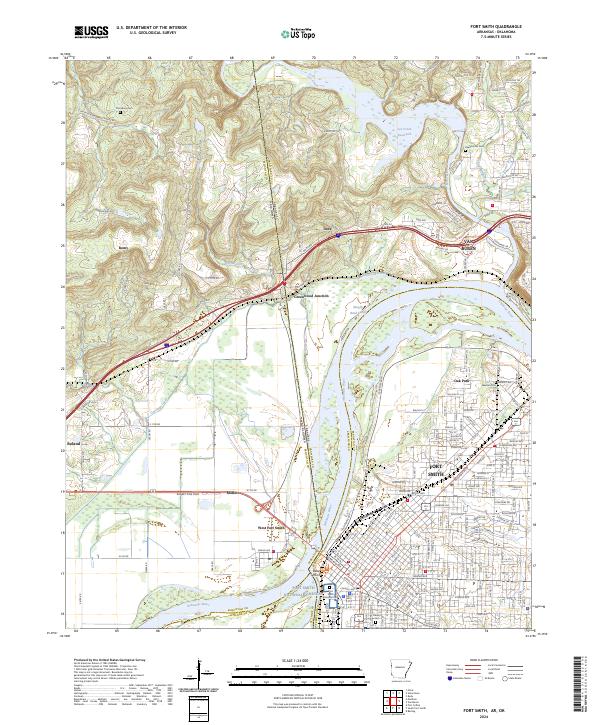
2024 Fort Smith
Sebastian County, AR