
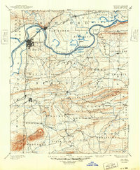
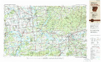
1978 Map of Fort Smith
USGS Topo · Published 1979About this map
The Arkansas River corridor serves as the central artery for this late-1970s topographical study, connecting the industrial and transport hubs of Muskogee and Fort Smith. This era shows a landscape heavily influenced by mid-century water management and military activity, with the massive footprints of Eufaula Lake and Robert S. Kerr Lake dominating the river valley. To the north, the Boston Mountains and Ozark Plateau rise sharply, while the southern reaches are defined by the Sans Bois Mountains and Cavanal Mountain. Large-scale land use is evident at the Fort Chaffee Military Reservation and Camp Gruber Military Reservation. Transport networks are densely recorded, including the Missouri Pacific RR and St. Louis-San Francisco Ry lines that once anchored the regional economy through towns like Van Buren, Sallisaw, and Wagoner.
Find a feature on this map
112 named features on this map. Tap any name to fly to it.
Don’t see what you’re looking for? This feature index may not catch every label — zoom into the map to look around manually.
Map Details
Editions of this 1978 Fort Smith Map
2 editions found
Historical Maps of Tulsa Through Time
14 maps found

1879 Fort Smith
Sebastian County, AR
1890 Fort Smith
Sebastian County, AR

1943 Fort Smith
Sebastian County, AR

1946 Fort Smith
Sebastian County, AR
1947 Fort Smith
Sebastian County, AR
1951 Fort Smith
Sebastian County, AR

1965 Fort Smith
Sebastian County, AR

1967 Fort Smith
Sebastian County, AR

1976 Fort Smith
Sebastian County, AR
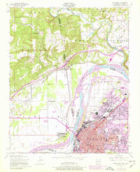
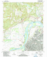
1978 Fort Smith
Sebastian County, AR
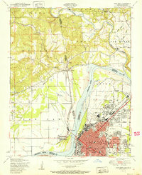
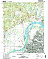
1978 Fort Smith
Sebastian County, AR
1987 Fort Smith
Sebastian County, AR
1997 Fort Smith
Sebastian County, AR
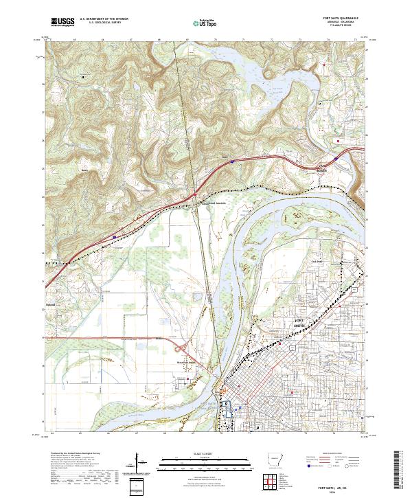
2024 Fort Smith
Sebastian County, AR