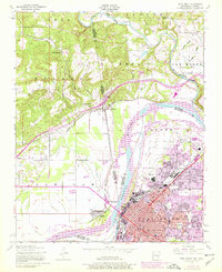
1947 Map of Fort Smith
USGS Topo · Published 1978About this map
The Arkansas River serves as the primary artery of this borderlands map, where the urban expansion of Fort Smith meets the Oklahoma state line. The city's grid is dense with institutional landmarks, from the National Cemetery near the riverbank to local hubs like St Boniface Church and School and Twin City Hospital. A complex rail network defines the mid-century economy, with the Missouri Pacific and Kansas City Southern lines converging at key transit points like Greenwood Junction. Beyond the city center, rural communities and landmarks such as Bluemount School and the riverfront West Fort Smith reveal the era's settlement pattern before the later growth of the interstate era. The transition from industrial infrastructure, including a Sawmill and various silos, to recreational spaces like Oak Park illustrates a city evolving around its historic river crossing.
Find a feature on this map
57 named features on this map. Tap any name to fly to it.
Don’t see what you’re looking for? This feature index may not catch every label — zoom into the map to look around manually.
Map Details
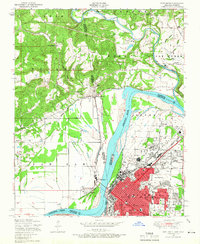
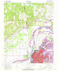
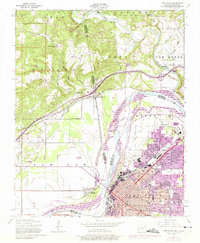
Editions of this 1947 Fort Smith Map
4 editions found
Other maps of this area

1879 · Fort Smith
USGS Topo · 1:62,500

1887 · Van Buren
USGS Topo · 1:62,500

1890 · Fort Smith
USGS Topo · 1:125,000

1898 · Winslow #3
USGS Topo · 1:62,500

1898 · Tahlequah
USGS Topo · 1:125,000

1898 · Winslow
USGS Topo · 1:125,000

1900 · Sallisaw
USGS Topo · 1:125,000

1901 · Winslow
USGS Topo · 1:125,000

1901 · Tahlequah
USGS Topo · 1:125,000

1905 · Tahlequah
USGS Topo · 1:125,000