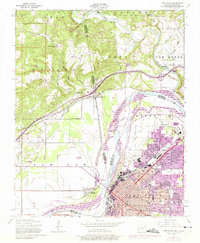
1947 Map of Fort Smith
USGS Topo · Published 1974About this map
The Arkansas River serves as the focal point for this 1947 topographic study, marking the border between Fort Smith and its neighbors. The river-and-rail landscape is shaped by the Missouri Pacific and several other lines that converge near the state line. Urban development is concentrated in the southeast, where numerous neighborhood schools like Peabody School and North Side High Sch appear alongside the prominent National Cemetery. To the north, the terrain transitions into the hills of Dora and Roland.
Find a feature on this map
56 named features on this map. Tap any name to fly to it.
Don’t see what you’re looking for? This feature index may not catch every label — zoom into the map to look around manually.
Map Details
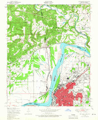
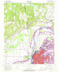
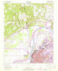
Editions of this 1947 Fort Smith Map
4 editions found
Other maps of this area

1879 · Fort Smith
USGS Topo · 1:62,500

1887 · Van Buren
USGS Topo · 1:62,500

1890 · Fort Smith
USGS Topo · 1:125,000

1898 · Winslow #3
USGS Topo · 1:62,500

1898 · Tahlequah
USGS Topo · 1:125,000

1898 · Winslow
USGS Topo · 1:125,000

1900 · Sallisaw
USGS Topo · 1:125,000

1901 · Winslow
USGS Topo · 1:125,000

1901 · Tahlequah
USGS Topo · 1:125,000

1905 · Tahlequah
USGS Topo · 1:125,000