
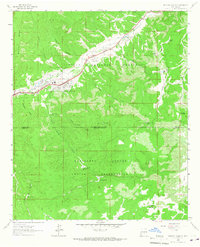
2004 Map of Fort Stanton
USGS Topo · Published 2006About this map
Fort Stanton sits at the northern end of this survey, surrounded by the extensive Fort Stanton Recreation Area and the Fort Stanton Military Reservation. The landscape is a complex of high mesas and deep canyons, with the Rio Bonito cutting through the northern reaches while the Sierra Blanca foothills dominate the southern half within the Lincoln National Forest. Development in the early 2000s is marked by the Sierra Blanca Regional Airport and the Spencer Theater near the western boundary.
Find a feature on this map
57 named features on this map. Tap any name to fly to it.
Don’t see what you’re looking for? This feature index may not catch every label — zoom into the map to look around manually.
Map Details
Editions of this 2004 Fort Stanton Map
This is the sole edition of this map. No revisions or reprints were ever made.
Other maps of this area

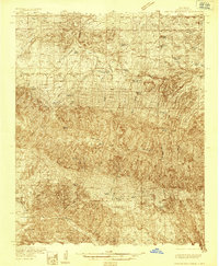
1934 · Capitan
USGS Topo · 1:48,000
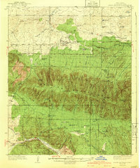
1935 · Capitan Mountains
USGS Topo · 1:48,000

1937 · Capitan
USGS Topo · 1:62,500
1940 · Capitan Mountains
USGS Topo · 1:62,500

1955 · Roswell
USGS Topo · 1:250,000

1958 · Roswell
USGS Topo · 1:250,000

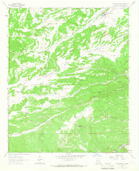
1961 · Lincoln
USGS Topo · 1:62,500

1962 · Roswell
USGS Topo · 1:250,000
1963 · Fort Stanton
USGS Topo · 1:24,000
1963 · Ruidoso Downs
USGS Topo · 1:24,000