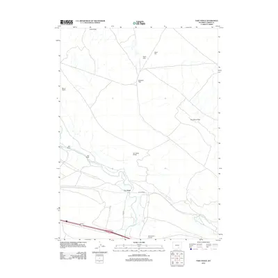
2012 Map of Fort Steele
USGS Topo · Published 2012About this map
Fort Steele sits at a strategic crossing of the N Platte River in Carbon County, where the landscape is defined by the sharp transition between the river valley and the high desert plateaus. The presence of Fort Fred Steele marks a location deeply tied to the protection of the transcontinental rail route and river fords. To the north, the terrain rises into the Cedar Ridge and Fort Steele Breaks, a complex system of drainages including Taylor Draw and Wet Draw. This 2012 survey illustrates the modern transportation corridor, where Co RD 347 and sections of Old Hwy navigate the ridges. Notable landmarks like Mount Steele and Saint Marys Ridge provide vertical relief against the expansive Alkali Flat, while Saint Marys Cr feeds into the main river channel below Whitehorse Canyon.
Find a feature on this map
16 named features on this map. Tap any name to fly to it.
Don’t see what you’re looking for? This feature index may not catch every label — zoom into the map to look around manually.
Map Details
Editions of this 2012 Fort Steele Map
This is the sole edition of this map. No revisions or reprints were ever made.
Other maps of this area

1893 · Fort Steele
USGS Topo · 1:125,000

1914 · Walcott
USGS Topo · 1:62,500

1953 · Sinclair
USGS Topo · 1:24,000

1953 · Lone Haystack Mountain
USGS Topo · 1:24,000

1954 · Rawlins
USGS Topo · 1:250,000

1955 · Meads
USGS Topo · 1:24,000

1955 · Savage Ranch
USGS Topo · 1:24,000

1956 · Bolten Ranch
USGS Topo · 1:62,500

1958 · Rawlins
USGS Topo · 1:250,000

1962 · Rawlins
USGS Topo · 1:250,000