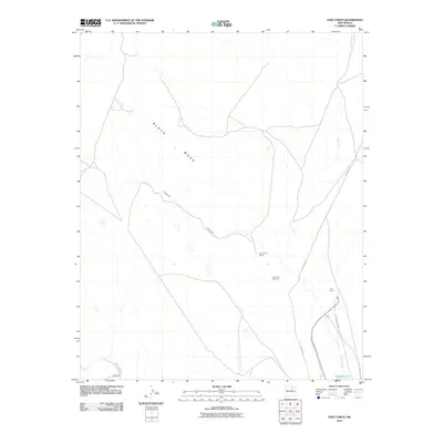
2010 Map of Fort Union
USGS Topo · Published 2010About this map
Fort Union stands as the central landmark of this high-plains landscape, where the historical pathways of the Santa Fe Trl and the Old Santa Fe Trl intersect. The terrain is defined by the massive profile of Black Mesa to the northwest, with drainage systems like Higgins Canyon and Wolf Creek carving through the plateau. This 2010 survey highlights the lasting imprint of the nineteenth-century military and trade frontier on the modern ranching environment.
Find a feature on this map
13 named features on this map. Tap any name to fly to it.
Don’t see what you’re looking for? This feature index may not catch every label — zoom into the map to look around manually.
Map Details
Editions of this 2010 Fort Union Map
This is the sole edition of this map. No revisions or reprints were ever made.
Other maps of this area

1889 · Las Vegas
USGS Topo · 1:125,000

1891 · Las Vegas
USGS Topo · 1:125,000

1892 · Watrous
USGS Topo · 1:125,000

1893 · Las Vegas
USGS Topo · 1:125,000

1894 · Watrous
USGS Topo · 1:125,000

1954 · Santa Fe
USGS Topo · 1:250,000

1954 · Raton
USGS Topo · 1:250,000

1958 · Raton
USGS Topo · 1:250,000

1958 · Santa Fe
USGS Topo · 1:250,000

1963 · Lake Isabel
USGS Topo · 1:24,000