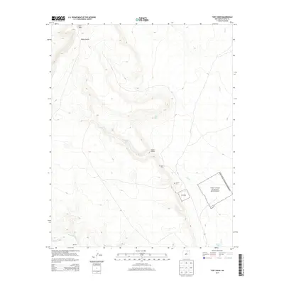
2013 Map of Fort Union
USGS Topo · Published 2013About this map
The Fort Union National Monument serves as the centerpiece of this Mora County terrain, preserving the site of one of the 19th-century West's most significant military outposts. The landscape is defined by the sharp rise of Black Mesa and the drainage of Higgins Canyon, with water sources like Black Mesa Spring and Higgins Canyon Spring marking critical points in this arid high-plains environment.
Find a feature on this map
13 named features on this map. Tap any name to fly to it.
Don’t see what you’re looking for? This feature index may not catch every label — zoom into the map to look around manually.
Map Details
Editions of this 2013 Fort Union Map
This is the sole edition of this map. No revisions or reprints were ever made.
Other maps of this area

1889 · Las Vegas
USGS Topo · 1:125,000

1891 · Las Vegas
USGS Topo · 1:125,000

1892 · Watrous
USGS Topo · 1:125,000

1893 · Las Vegas
USGS Topo · 1:125,000

1894 · Watrous
USGS Topo · 1:125,000

1954 · Santa Fe
USGS Topo · 1:250,000

1954 · Raton
USGS Topo · 1:250,000

1958 · Raton
USGS Topo · 1:250,000

1958 · Santa Fe
USGS Topo · 1:250,000

1963 · Lake Isabel
USGS Topo · 1:24,000