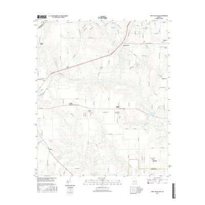
2017 Map of Fort Valley East
USGS Topo · Published 2017About this map
Mossy Creek and its many tributaries, including Dry Run Creek and Beaver Creek, define the drainage of this central Georgia landscape. The map captures a mix of established agricultural land and modern transportation corridors, such as the Peach Parkway cutting through the center. Small settlements and named locales like Powersville, Biss, and Miami Valley are interspersed with several small airfields, including the Miami Valley Farm Airport and the larger Perry-Houston County Airport near the southern boundary. For those researching local families, the map is a dense record of rural burial grounds, featuring the Wesley Chapel Cemetery, Lisenby Cemetery, and Scattergood Cemetery, among others. Industrial and recreational water features like Housers Millpond and Whipple Lake appear alongside landmarks such as Taylors Mill, reflecting the area's long-standing connection to its water resources.
Find a feature on this map
116 named features on this map. Tap any name to fly to it.
Don’t see what you’re looking for? This feature index may not catch every label — zoom into the map to look around manually.
Map Details
Editions of this 2017 Fort Valley East Map
This is the sole edition of this map. No revisions or reprints were ever made.
Other maps of this area

1956 · Fort Valley
USGS Topo · 1:62,500

1956 · Perry
USGS Topo · 1:62,500

1956 · Warner Robins
USGS Topo · 1:62,500

1957 · Macon
USGS Topo · 1:250,000

1958 · Macon
USGS Topo · 1:250,000

1964 · Macon
USGS Topo · 1:250,000
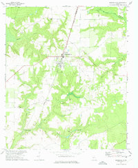
1972 · Marshallville
USGS Topo · 1:24,000

1972 · Perry West
USGS Topo · 1:24,000
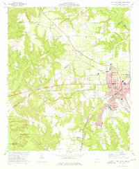
1973 · Fort Valley West
USGS Topo · 1:24,000
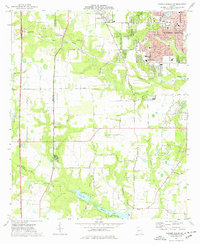
1973 · Warner Robins SW
USGS Topo · 1:24,000