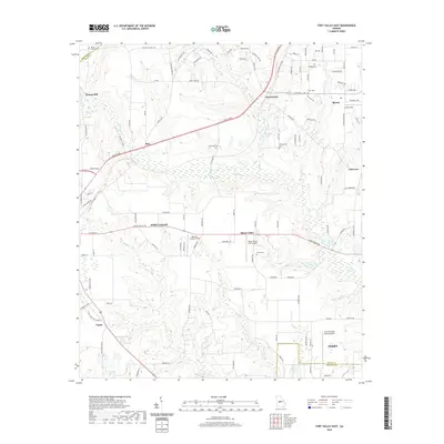
2020 Map of Fort Valley East
USGS Topo · Published 2020About this map
Taylors Mill and the surrounding peach-growing country of central Georgia are documented here in high detail. The landscape is defined by its agricultural heritage and small rural hubs like Biss, Powersville, and Miami Valley. Genealogists will find a high density of burial grounds, including the Wesley Chapel Cem, Diamond Cem, and Lisenby Cem, which are scattered throughout the countryside. The geography is shaped by the transition from the city of Fort Valley in the west to the northern edges of Perry and Byron. Waterways such as Mossy Cr and Mule Cr drain toward the Hickorynut Br, supporting the local drainage basins. This modern survey reflects the area's continued reliance on local aviation and transport, evidenced by the Miami Valley Farm Airport and the Perry-Houston County Airport located just outside the major population centers.
Find a feature on this map
117 named features on this map. Tap any name to fly to it.
Don’t see what you’re looking for? This feature index may not catch every label — zoom into the map to look around manually.
Map Details
Editions of this 2020 Fort Valley East Map
This is the sole edition of this map. No revisions or reprints were ever made.
Other maps of this area

1956 · Fort Valley
USGS Topo · 1:62,500

1956 · Perry
USGS Topo · 1:62,500

1956 · Warner Robins
USGS Topo · 1:62,500

1957 · Macon
USGS Topo · 1:250,000

1958 · Macon
USGS Topo · 1:250,000

1964 · Macon
USGS Topo · 1:250,000
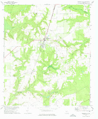
1972 · Marshallville
USGS Topo · 1:24,000

1972 · Perry West
USGS Topo · 1:24,000
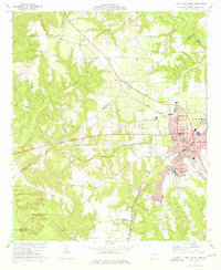
1973 · Fort Valley West
USGS Topo · 1:24,000
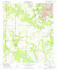
1973 · Warner Robins SW
USGS Topo · 1:24,000