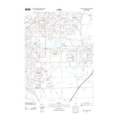
2013 Map of Fort Wayne East
USGS Topo · Published 2013About this map
The Maumee River and Saint Joseph River converge in this urban and suburban landscape on the east side of Fort Wayne. Residential developments define the area, including established neighborhoods like Anthony Wayne Village, Eastland Gardens, and Sunnymede Woods. The map reveals a dense network of suburban streets and planned communities that expanded outward from the city core toward smaller settlements like Thurman and Hacienda Village.
Find a feature on this map
371 named features on this map. Tap any name to fly to it.
Don’t see what you’re looking for? This feature index may not catch every label — zoom into the map to look around manually.
Map Details
Editions of this 2013 Fort Wayne East Map
This is the sole edition of this map. No revisions or reprints were ever made.
Other maps of this area

1953 · Fort Wayne
USGS Topo · 1:250,000

1953 · Muncie
USGS Topo · 1:250,000

1956 · Muncie
USGS Topo · 1:250,000

1956 · Fort Wayne
USGS Topo · 1:250,000

1956 · Fort Wayne West
USGS Topo · 1:24,000

1956 · Fort Wayne East
USGS Topo · 1:24,000

1956 · Cedarville
USGS Topo · 1:24,000

1957 · Maples
USGS Topo · 1:24,000

1957 · Huntertown
USGS Topo · 1:24,000

1958 · Grabill
USGS Topo · 1:24,000