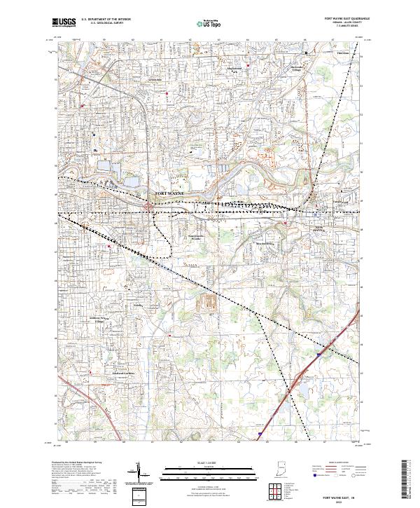
2022 Map of Fort Wayne East
USGS Topo · Published 2022About this map
The Maumee River serves as the central artery for this eastern section of Fort Wayne, where suburban development meets the sprawling drainage networks of the Indiana plains. The landscape is defined by its educational hubs, including Purdue University Fort Wayne and Indiana University Fort Wayne, alongside institutional landmarks like Concordia Cem and Cremation Gardens. Residential growth is visible in distinct neighborhoods such as Hacienda Village, Maplewood Park, and Sunnymede Woods, which are connected by an evolving network of trails including the Rivergreenway Trl. As the terrain transitions toward New Haven, the density of water management features like Paul Trier Ditch and Adams Ditch highlights the historical engineering required to manage the area's low-lying drainage basins.
Find a feature on this map
62 named features on this map. Tap any name to fly to it.
Don’t see what you’re looking for? This feature index may not catch every label — zoom into the map to look around manually.
Map Details
Editions of this 2022 Fort Wayne East Map
This is the sole edition of this map. No revisions or reprints were ever made.
Other maps of this area

1953 · Fort Wayne
USGS Topo · 1:250,000

1953 · Muncie
USGS Topo · 1:250,000

1956 · Muncie
USGS Topo · 1:250,000

1956 · Fort Wayne
USGS Topo · 1:250,000

1956 · Fort Wayne West
USGS Topo · 1:24,000

1956 · Fort Wayne East
USGS Topo · 1:24,000

1956 · Cedarville
USGS Topo · 1:24,000

1957 · Maples
USGS Topo · 1:24,000

1957 · Huntertown
USGS Topo · 1:24,000

1958 · Grabill
USGS Topo · 1:24,000