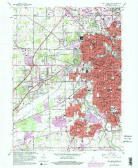
1963 Map of Fort Wayne West
USGS Topo · Published 1982About this map
St Marys River winds through the heart of this urban landscape, serving as a focal point for the city's extensive park system and early infrastructure. The survey reveals a city in transition, where established neighborhoods like Waynedale and North Highland meet emerging subdivisions such as Indian Village and Covington Dells. Education and community institutions are particularly dense, featuring the Indiana School for Feeble Minded Youth, St Francis College, and the Fort Wayne Bible College. The transport network is anchored by the Norfolk and Western railroad and the historic Leesburg Road. Cultural landmarks including the Johnny Appleseed Memorial Park and St Vincent's Orphan Home reflect the civic character of the era, while several country clubs like Orchard Ridge Country Club mark the expanding suburban fringe.
Find a feature on this map
87 named features on this map. Tap any name to fly to it.
Don’t see what you’re looking for? This feature index may not catch every label — zoom into the map to look around manually.
Map Details
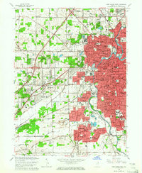
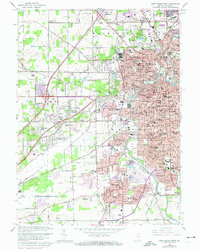
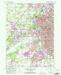
Editions of this 1963 Fort Wayne West Map
4 editions found
Other maps of this area

1953 · Fort Wayne
USGS Topo · 1:250,000

1953 · Muncie
USGS Topo · 1:250,000

1956 · Muncie
USGS Topo · 1:250,000

1956 · Fort Wayne
USGS Topo · 1:250,000

1956 · Fort Wayne West
USGS Topo · 1:24,000

1956 · Fort Wayne East
USGS Topo · 1:24,000

1956 · Cedarville
USGS Topo · 1:24,000

1957 · Huntertown
USGS Topo · 1:24,000

1957 · Churubusco
USGS Topo · 1:24,000

1961 · Arcola
USGS Topo · 1:24,000
Featured Places
- Fort Wayne, IN
- Indian Village, Fort Wayne
- Northcrest, Fort Wayne
- Ansley Acres, IN
- Westchester, Fort Wayne