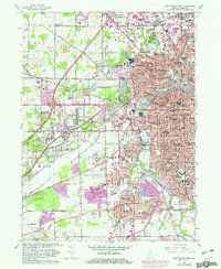
1963 Map of Fort Wayne West
USGS Topo · Published 1982About this map
Lindenwood Cemetery and the sprawling grounds of the Indiana School for Feeble Minded Youth anchor the western landscape of Fort Wayne during this era of post-war expansion. The confluence of the St Marys River and the Maumee River defines the urban core, where heavy industry and rail transport meet. The Norfolk and Western Railroad and Conrail lines weave through established neighborhoods like Portage and Waynedale, while newer developments such as Brierwood Hills and Ansley Acres signal the growing suburban footprint.
Find a feature on this map
112 named features on this map. Tap any name to fly to it.
Don’t see what you’re looking for? This feature index may not catch every label — zoom into the map to look around manually.
Map Details
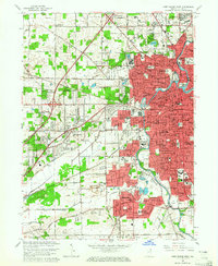
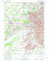
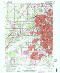
Editions of this 1963 Fort Wayne West Map
4 editions found
Other maps of this area

1953 · Fort Wayne
USGS Topo · 1:250,000

1953 · Muncie
USGS Topo · 1:250,000

1956 · Muncie
USGS Topo · 1:250,000

1956 · Fort Wayne
USGS Topo · 1:250,000

1956 · Fort Wayne West
USGS Topo · 1:24,000

1956 · Fort Wayne East
USGS Topo · 1:24,000

1956 · Cedarville
USGS Topo · 1:24,000

1957 · Huntertown
USGS Topo · 1:24,000

1957 · Churubusco
USGS Topo · 1:24,000

1961 · Arcola
USGS Topo · 1:24,000
Featured Places
- Fort Wayne, IN
- Indian Village, Fort Wayne
- Northcrest, Fort Wayne
- Ansley Acres, IN
- Westchester, Fort Wayne