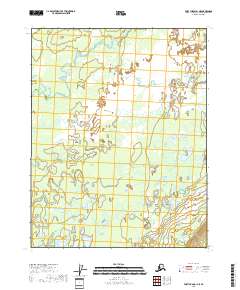
2018 Map of Fort Yukon B-1 NE
USGS Topo · Published 2018About this map
Grass River and Sucker River define this subarctic wetland environment within the Yukon-Koyukuk Census Area. The landscape is dominated by complex hydrological patterns, with numerous unnamed ponds and marshy reaches typical of the interior Alaska river systems. The Grass River meanders across the northern portion of the quadrangle, while the Sucker River occupies the southeastern corner. This area remains largely undeveloped, with no named settlements or roads indicated on the 2018 survey. The map serves as a detailed record of the shifting watercourses and wetlands that characterize this portion of the Yukon Flats, providing essential data for those studying the natural history and environmental changes of the Alaskan interior.
Find a feature on this map
6 named features on this map. Tap any name to fly to it.
Don’t see what you’re looking for? This feature index may not catch every label — zoom into the map to look around manually.
Map Details
Editions of this 2018 Fort Yukon B-1 NE Map
This is the sole edition of this map. No revisions or reprints were ever made.
Other maps of this area

1951 · Fort Yukon
USGS Topo · 1:250,000

1951 · Black River
USGS Topo · 1:250,000

1956 · Fort Yukon C-1
USGS Topo · 1:63,360

1956 · Black River B-6
USGS Topo · 1:63,360

1956 · Black River C-6
USGS Topo · 1:63,360

1956 · Fort Yukon B-1
USGS Topo · 1:63,360

1956 · Fort Yukon
USGS Topo · 1:250,000

1956 · Black River
USGS Topo · 1:250,000

1964 · Black River
USGS Topo · 1:250,000
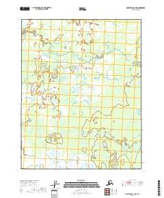
2018 · Fort Yukon B-1 NW
USGS Topo · 1:25,000