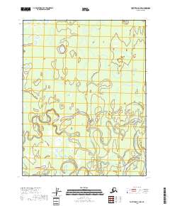
2018 Map of Fort Yukon C-3 NW
USGS Topo · Published 2018About this map
Yukon Flats dominates this portion of the interior Alaska wilderness, revealing a landscape defined by an intricate network of wetlands and shifting watercourses. The most prominent hydrological feature is Nuntragut Slough, which winds through the terrain, illustrating the complex drainage patterns of this vast flood plain. The survey provides a precise look at the township and range divisions, including t22n r10e and t21n r11e, which overlay a territory characterized by countless small ponds and seasonal water bodies typical of the region's subarctic environment. This 2018 data represents the modern baseline for a remote riverine ecosystem where the absence of roads or permanent structures underscores the isolation of the upper Yukon river basin.
Find a feature on this map
6 named features on this map. Tap any name to fly to it.
Don’t see what you’re looking for? This feature index may not catch every label — zoom into the map to look around manually.
Map Details
Editions of this 2018 Fort Yukon C-3 NW Map
This is the sole edition of this map. No revisions or reprints were ever made.
Other maps of this area

1951 · Fort Yukon
USGS Topo · 1:250,000

1952 · Fort Yukon C-3
USGS Topo · 1:63,360

1952 · Fort Yukon C-4
USGS Topo · 1:63,360

1955 · Fort Yukon D-3
USGS Topo · 1:63,360

1955 · Fort Yukon D-4
USGS Topo · 1:63,360

1955 · Fort Yukon C-3
USGS Topo · 1:63,360

1956 · Fort Yukon
USGS Topo · 1:250,000
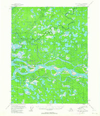
1956 · Fort Yukon C-4
USGS Topo · 1:63,360
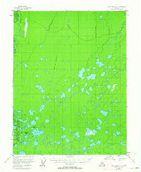
1956 · Fort Yukon D-3
USGS Topo · 1:63,360
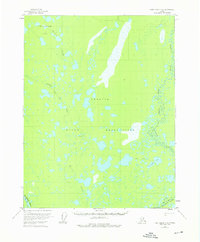
1956 · Fort Yukon D-4
USGS Topo · 1:63,360