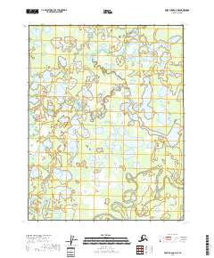
2018 Map of Fort Yukon C-4 NE
USGS Topo · Published 2018About this map
Yukon Flats dominates this portion of the Alaskan interior, revealing a complex and shifting hydrological environment where water and land are in constant flux. The landscape is defined by the wandering path of the Christian River, which meanders through a dense network of seasonal wetlands and ponds. This 2018 survey captures the intricate drainage patterns of the region, specifically highlighting the secondary channels of Nuntragut Slough and Back Yukon Slough. The absence of man-made infrastructure or permanent settlements reflects the remote and preserved state of this subarctic wilderness, where the natural movement of the river systems remains the primary force of change. For those studying the geomorphology of northern river basins, the map provides a clear record of the sloughs and overflow channels that characterize this section of the Yukon River watershed.
Find a feature on this map
8 named features on this map. Tap any name to fly to it.
Don’t see what you’re looking for? This feature index may not catch every label — zoom into the map to look around manually.
Map Details
Editions of this 2018 Fort Yukon C-4 NE Map
This is the sole edition of this map. No revisions or reprints were ever made.
Other maps of this area

1951 · Fort Yukon
USGS Topo · 1:250,000

1952 · Fort Yukon C-3
USGS Topo · 1:63,360

1952 · Fort Yukon C-4
USGS Topo · 1:63,360

1955 · Fort Yukon D-3
USGS Topo · 1:63,360

1955 · Fort Yukon D-4
USGS Topo · 1:63,360

1955 · Fort Yukon C-3
USGS Topo · 1:63,360

1956 · Fort Yukon
USGS Topo · 1:250,000
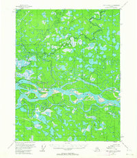
1956 · Fort Yukon C-4
USGS Topo · 1:63,360
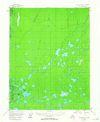
1956 · Fort Yukon D-3
USGS Topo · 1:63,360
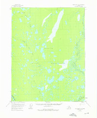
1956 · Fort Yukon D-4
USGS Topo · 1:63,360