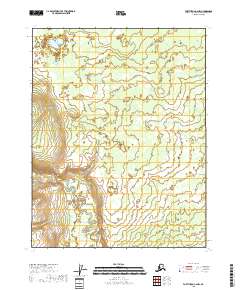
2018 Map of Fort Yukon C-6 NW
USGS Topo · Published 2018About this map
The Hadweenzic River meanders across this northern landscape, its intricate loops and oxbows defining the hydrological character of the Yukon Flats region. As a snapshot of the interior in 2018, the map illustrates a complex network of wetlands and seasonal water bodies typical of this subarctic basin. The lack of human settlements or named roads emphasizes the area's isolation, where the shifting channels of the Hadweenzic River remain the primary geographical markers within the vast township boundaries of T22N R4E and T21N R4E. This topographic study captures the subtle elevation changes of the floodplains, providing a clear record of the area's drainage patterns and natural landform evolution before any potential future developments.
Find a feature on this map
8 named features on this map. Tap any name to fly to it.
Don’t see what you’re looking for? This feature index may not catch every label — zoom into the map to look around manually.
Map Details
Editions of this 2018 Fort Yukon C-6 NW Map
This is the sole edition of this map. No revisions or reprints were ever made.
Other maps of this area

1951 · Fort Yukon
USGS Topo · 1:250,000

1951 · Beaver
USGS Topo · 1:250,000

1956 · Beaver
USGS Topo · 1:250,000

1956 · Fort Yukon
USGS Topo · 1:250,000
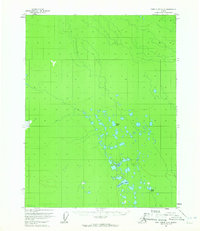
1956 · Fort Yukon D-6
USGS Topo · 1:63,360
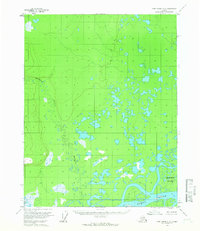
1956 · Fort Yukon C-6
USGS Topo · 1:63,360

1964 · Beaver
USGS Topo · 1:250,000
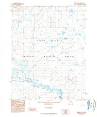
1990 · Beaver D-1
USGS Topo · 1:63,360
1990 · Beaver C-1
USGS Topo · 1:63,360
2017 · Beaver C-1 NE
USGS Topo · 1:25,000