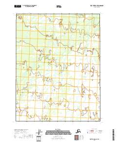
2018 Map of Fort Yukon D-2 NE
USGS Topo · Published 2018About this map
The Alaskan interior within the Yukon-Koyukuk region is defined here by an expansive, water-saturated wilderness where the land and water are inextricably linked. This 2018 survey reveals a landscape dominated by intricate drainage patterns and an abundance of wetlands, typical of the subarctic plains. The map is organized by the Public Land Survey System, specifically demarcating T25n R14e, T25n R15e, T24n R14e, and T24n R15e. These grid designations represent the primary human imprint on an otherwise remote territory, providing essential data for land management and environmental study. The absence of named settlements or roads underscores the isolation of this part of the Fort Yukon D-2 NE quadrangle, where the natural hydrography of the Yukon Flats remains the primary geographical feature.
Find a feature on this map
4 named features on this map. Tap any name to fly to it.
Don’t see what you’re looking for? This feature index may not catch every label — zoom into the map to look around manually.
Map Details
Editions of this 2018 Fort Yukon D-2 NE Map
This is the sole edition of this map. No revisions or reprints were ever made.
Other maps of this area

1951 · Fort Yukon
USGS Topo · 1:250,000

1951 · Christian
USGS Topo · 1:250,000

1955 · Fort Yukon D-2
USGS Topo · 1:63,360
1956 · Fort Yukon D-1
USGS Topo · 1:63,360

1956 · Christian
USGS Topo · 1:250,000

1956 · Fort Yukon
USGS Topo · 1:250,000
1990 · Christian A-1
USGS Topo · 1:63,360
1990 · Christian A-2
USGS Topo · 1:63,360
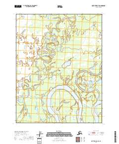
2018 · Fort Yukon D-1 SW
USGS Topo · 1:25,000
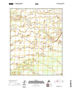
2018 · Christian A-2 SW
USGS Topo · 1:25,000