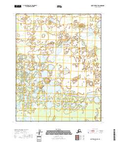
2018 Map of Fort Yukon D-3 SW
USGS Topo · Published 2018About this map
Alexanders Village sits as the primary settlement focus in this corner of the Yukon Flats, a landscape dominated by complex wetland networks and seasonal drainages. The Christian River meanders through the western portion of the quadrangle, serving as a vital hydrologic artery for the surrounding terrain. To the south, the topography rises toward the East Crazy Mountains, while Shotuih Hill provides a distinct elevation marker amidst the numerous water bodies like Shovun Lake and Tivehvun Lake. This area of the Yukon-Koyukuk Census Area reflects a traditional interior Alaskan pattern of small, isolated settlements established along significant river systems and lake chains, where the geography dictates the pace of movement and life.
Find a feature on this map
13 named features on this map. Tap any name to fly to it.
Don’t see what you’re looking for? This feature index may not catch every label — zoom into the map to look around manually.
Map Details
Editions of this 2018 Fort Yukon D-3 SW Map
This is the sole edition of this map. No revisions or reprints were ever made.
Other maps of this area

1951 · Fort Yukon
USGS Topo · 1:250,000

1952 · Fort Yukon C-3
USGS Topo · 1:63,360

1952 · Fort Yukon C-4
USGS Topo · 1:63,360

1955 · Fort Yukon D-3
USGS Topo · 1:63,360

1955 · Fort Yukon D-4
USGS Topo · 1:63,360

1955 · Fort Yukon C-3
USGS Topo · 1:63,360

1956 · Fort Yukon
USGS Topo · 1:250,000
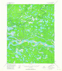
1956 · Fort Yukon C-4
USGS Topo · 1:63,360
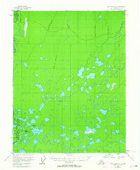
1956 · Fort Yukon D-3
USGS Topo · 1:63,360
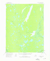
1956 · Fort Yukon D-4
USGS Topo · 1:63,360