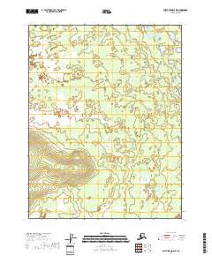
2018 Map of Fort Yukon D-6 SW
USGS Topo · Published 2018About this map
The interior landscape of the T23n R4e township and its surroundings within the Yukon-Koyukuk Census Area reveals an environment defined by expansive wetlands and intricate water systems. This survey, compiled from data sources including the National Hydrography Dataset and FWS National Wetlands Inventory, highlights a region primarily organized by the Public Land Survey System rather than established settlements. The terrain transitions from low-lying marshlands to subtle elevation gains in the southwest, particularly within T22n R3e and T23n R3e. This lack of named roads or towns emphasizes the untouched nature of the Alaskan interior in the early twenty-first century, providing a clear view of the wilderness as it appeared during the 2018 mapping project.
Find a feature on this map
9 named features on this map. Tap any name to fly to it.
Don’t see what you’re looking for? This feature index may not catch every label — zoom into the map to look around manually.
Map Details
Editions of this 2018 Fort Yukon D-6 SW Map
This is the sole edition of this map. No revisions or reprints were ever made.
Other maps of this area

1951 · Fort Yukon
USGS Topo · 1:250,000

1951 · Beaver
USGS Topo · 1:250,000

1956 · Beaver
USGS Topo · 1:250,000

1956 · Fort Yukon
USGS Topo · 1:250,000
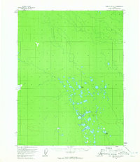
1956 · Fort Yukon D-6
USGS Topo · 1:63,360
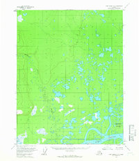
1956 · Fort Yukon C-6
USGS Topo · 1:63,360

1964 · Beaver
USGS Topo · 1:250,000
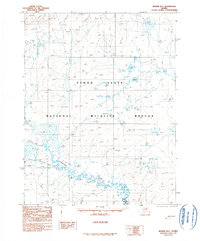
1990 · Beaver D-1
USGS Topo · 1:63,360
1990 · Beaver C-1
USGS Topo · 1:63,360
2017 · Beaver C-1 NE
USGS Topo · 1:25,000