
1944 Map of Fortuna
USGS Topo · Published 1944About this map
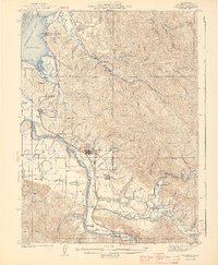
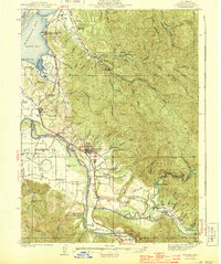
The timber and dairy landscapes of Humboldt County during the early 1940s are defined here by the meeting of the Eel River and Humboldt Bay. Around the hub of Fortuna, the map reveals a network of small school districts and company towns that supported the regional economy. Settlements like Falk, tucked into the hills along the South Fork Elk River, and Metropolitan near the riverbanks, illustrate the era's reliance on localized centers of industry. The Northwestern Pacific RR snakes along the coast and river valleys, providing a vital link for the Lumber Camp operations and dairying communities like Waddington and Loleta. Along the coast, the prominent landform of Table Bluff overlooks South Bay, while inland, the confluence of the Van Duzen River and the Eel River marks a fertile floodplain of ranching and early transit corridors.
Find a feature on this map
103 named features on this map. Tap any name to fly to it.
Don’t see what you’re looking for? This feature index may not catch every label — zoom into the map to look around manually.
Map Details
Editions of this 1944 Fortuna Map
3 editions found
Other maps of this area

1916 · Cape Fortunas
USGS Topo · 1:62,500

1919 · Glynn
USGS Topo · 1:62,500

1921 · Dyerville
USGS Topo · 1:62,500

1921 · Cape Mendocino
USGS Topo · 1:62,500

1922 · Eureka
USGS Topo · 1:62,500

1922 · Korbel
USGS Topo · 1:62,500

1922 · Kneeland
USGS Topo · 1:62,500

1933 · Eureka
USGS Topo · 1:48,000

1942 · Eureka
USGS Topo · 1:62,500

1943 · Ferndale
USGS Topo · 1:62,500