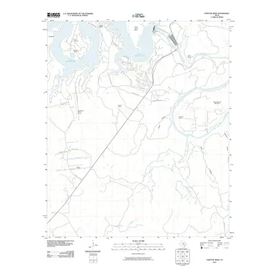
2010 Map of Fortune Bend
USGS Topo · Published 2010About this map
Morris Sheppard Dam stands as the primary engineering feature of this Palo Pinto County landscape, impounding the waters of the Brazos River to form the expansive Possum Kingdom Lake. The map reveals a transition from the industrial infrastructure of the Belding Oil Field and Sportsmans World Airport to the intricate residential developments lining the lake's fingers, including Ox View Cove and Hells Gate Dr.
Find a feature on this map
48 named features on this map. Tap any name to fly to it.
Don’t see what you’re looking for? This feature index may not catch every label — zoom into the map to look around manually.
Map Details
Editions of this 2010 Fortune Bend Map
This is the sole edition of this map. No revisions or reprints were ever made.
Other maps of this area

1890 · Breckenridge
USGS Topo · 1:125,000

1891 · Palo Pinto
USGS Topo · 1:125,000

1918 · Palo Pinto
USGS Topo · 1:125,000

1924 · Breckenridge 1-a
USGS Topo · 1:48,000

1924 · Palo Pinto 2-b
USGS Topo · 1:48,000

1924 · Palo Pinto 2-a
USGS Topo · 1:48,000

1924 · Palo Pinto 2-c
USGS Topo · 1:48,000

1924 · Breckenridge 1-d
USGS Topo · 1:48,000

1927 · Pickwick
USGS Topo · 1:62,500

1931 · Ivan
USGS Topo · 1:62,500