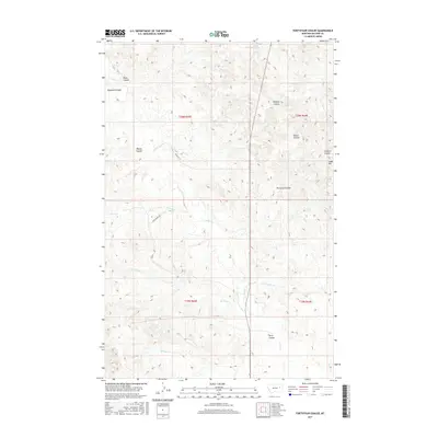
2017 Map of Fortyfour Coulee
USGS Topo · Published 2017About this map
Fortyfour Coulee and the surrounding drainage systems of McCone County define this high plains landscape as documented in 2017. The terrain is characterized by a series of significant coulees including Bigney Coulee, Morris Coulee, and Badgley Coulee, which channel water toward creeks like Timber Cr and Ten Deer Cr. Small-scale agricultural and ranching infrastructure is evident through features such as Leaky Reservoir and local transport routes like Orpha Dann Rd.
Find a feature on this map
25 named features on this map. Tap any name to fly to it.
Don’t see what you’re looking for? This feature index may not catch every label — zoom into the map to look around manually.
Map Details
Editions of this 2017 Fortyfour Coulee Map
This is the sole edition of this map. No revisions or reprints were ever made.
Other maps of this area

1954 · Jordan
USGS Topo · 1:250,000

1956 · Jordan
USGS Topo · 1:250,000

1958 · Jordan
USGS Topo · 1:250,000

1964 · Jordan
USGS Topo · 1:250,000

1967 · Coal Creek
USGS Topo · 1:24,000

1967 · Frank Coulee
USGS Topo · 1:24,000

1972 · Short Creek
USGS Topo · 1:24,000

1973 · Rodgers Hall
USGS Topo · 1:24,000

1973 · Nelson Creek Bay
USGS Topo · 1:24,000

1978 · Fort Peck Lake East
USGS Topo · 1:100,000