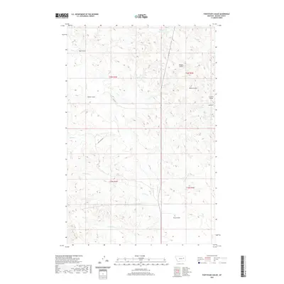
2020 Map of Fortyfour Coulee
USGS Topo · Published 2020About this map
Leaky Reservoir sits in the northern reaches of this McCone County landscape, where the drainage patterns of the eastern Montana plains are clearly defined by a network of coulees and seasonal creeks. The terrain is shaped by significant elevation changes, most notably at Cobb Hill, which overlooks a series of erosion-formed features including Crookers Coulee and Morris Coulee. This 2020 survey documents a ranching and grazing environment where named watercourses like Good Cr and Bad Cr suggest the varying reliability of water sources for early homesteaders and contemporary land managers alike. Narrow access routes such as Orpha Dann Rd and PR RD 24-16 provide the primary infrastructure through the township and range sections of this prairie landscape, connecting isolated landmarks like Terry Coulee and Ryan Coulee across the undulating topography.
Find a feature on this map
23 named features on this map. Tap any name to fly to it.
Don’t see what you’re looking for? This feature index may not catch every label — zoom into the map to look around manually.
Map Details
Editions of this 2020 Fortyfour Coulee Map
This is the sole edition of this map. No revisions or reprints were ever made.
Other maps of this area

1954 · Jordan
USGS Topo · 1:250,000

1956 · Jordan
USGS Topo · 1:250,000

1958 · Jordan
USGS Topo · 1:250,000

1964 · Jordan
USGS Topo · 1:250,000

1967 · Coal Creek
USGS Topo · 1:24,000

1967 · Frank Coulee
USGS Topo · 1:24,000

1972 · Short Creek
USGS Topo · 1:24,000

1973 · Rodgers Hall
USGS Topo · 1:24,000

1973 · Nelson Creek Bay
USGS Topo · 1:24,000

1978 · Fort Peck Lake East
USGS Topo · 1:100,000