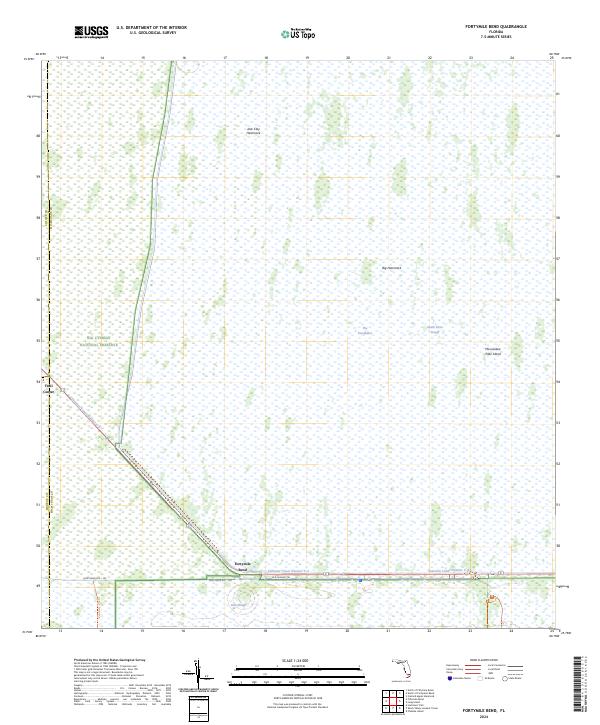
2024 Map of Fortymile Bend
USGS Topo · Published 2024About this map
The Everglades landscape dominates this 2024 survey at the intersection of Miami-Dade, Collier, and Monroe counties. The map centers on the critical junction of Fortymile Bend, where the modern highway system meets the historical Old Tamiami Trl. This area serves as a transition point between the Big Cypress National Preserve and the protected lands of the Marjory Stoneman Douglas Wilderness.
Find a feature on this map
17 named features on this map. Tap any name to fly to it.
Don’t see what you’re looking for? This feature index may not catch every label — zoom into the map to look around manually.
Map Details
Editions of this 2024 Fortymile Bend Map
This is the sole edition of this map. No revisions or reprints were ever made.
Other maps of this area
1956 · Miami
USGS Topo · 1:250,000
1958 · Miami
USGS Topo · 1:250,000
1972 · Shark Valley Lookout Tower
USGS Topo · 1:24,000
1972 · Lostmans Trail
USGS Topo · 1:24,000
1972 · Chekika Island
USGS Topo · 1:24,000
1973 · Fortymile Bend
USGS Topo · 1:24,000

1973 · Custard Apple Hammock
USGS Topo · 1:24,000
1973 · Fiftymile Bend
USGS Topo · 1:24,000
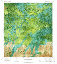
1973 · North Of Fiftymile Bend
USGS Topo · 1:24,000
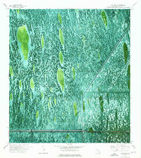
1973 · Long Island
USGS Topo · 1:24,000
Featured Places
- Miccosukee Indian Village, FL
- Smallpox Tommies Old Place, FL
- Tommy Tigers Camp, FL
- Fortymile Bend, FL
- Jimmie Tigers Farm, FL