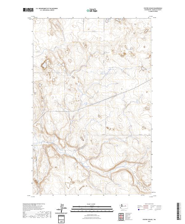
2023 Map of Foster Coulee
USGS Topo · Published 2023About this map
Foster Coulee cuts through this high desert plateau in Douglas County, defining a landscape marked by dramatic elevation changes and essential water management. Water is a central theme of this 2023 survey, which documents infrastructure such as Perry Dam Number One and Perry Dam Number Two alongside natural features like Buck Lake, Clear Lake, and Elbow Lake. The land is segmented by a grid of rural roads, including Leahy Rd S and Rogers Rd NE, which provide access to the remote sections of T28N and T29N. A prominent landmark, Tower Rock, stands as a navigational waypoint in the western portion of the quadrangle. The map reveals the intricate drainage patterns of East Foster Creek as it winds through the coulee, illustrating the relationship between the arid terrain and the water systems that sustain it.
Find a feature on this map
25 named features on this map. Tap any name to fly to it.
Don’t see what you’re looking for? This feature index may not catch every label — zoom into the map to look around manually.
Map Details
Editions of this 2023 Foster Coulee Map
This is the sole edition of this map. No revisions or reprints were ever made.
Other maps of this area

1950 · Boot Mtn
USGS Topo · 1:62,500

1950 · Alameda Flat
USGS Topo · 1:62,500

1952 · Alameda Flat
USGS Topo · 1:62,500

1953 · Ritzville
USGS Topo · 1:250,000

1954 · Okanogan
USGS Topo · 1:250,000

1958 · Okanogan
USGS Topo · 1:250,000

1959 · Ritzville
USGS Topo · 1:250,000

1965 · Ritzville
USGS Topo · 1:250,000

1968 · Steamboat Rock SW
USGS Topo · 1:24,000

1968 · Barker Canyon
USGS Topo · 1:24,000