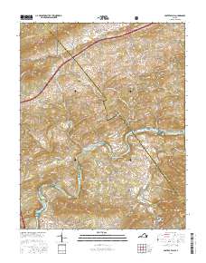
2016 Map of Fosters Falls
USGS Topo · Published 2016About this map
Fosters Falls and the winding New River define the industrial and natural geography of this section of the Wythe and Pulaski county border. The landscape is marked by the legacy of iron production and milling, evidenced by settlements like Boom Furnace and the High Rocks Mill situated along the southern watercourses. The river serves as a central artery, flanked by diverse terrain including Hematite Mtn and Fosters Falls Mtn, with Carter Island and Baker Island nestled in the channel.
Find a feature on this map
115 named features on this map. Tap any name to fly to it.
Don’t see what you’re looking for? This feature index may not catch every label — zoom into the map to look around manually.
Map Details
Editions of this 2016 Fosters Falls Map
This is the sole edition of this map. No revisions or reprints were ever made.
Other maps of this area

1889 · Hillsville
USGS Topo · 1:125,000

1890 · Dublin
USGS Topo · 1:125,000

1891 · Dublin
USGS Topo · 1:125,000

1892 · Hillsville
USGS Topo · 1:125,000
1896 · Hillsville
USGS Topo · 1:125,000
1930 · Max Meadows
USGS Topo · 1:62,500
1934 · Pulaski
USGS Topo · 1:48,000
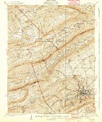
1940 · Pulaski
USGS Topo · 1:62,500
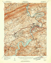
1950 · Radford
USGS Topo · 1:62,500

1953 · Winston-Salem
USGS Topo · 1:250,000