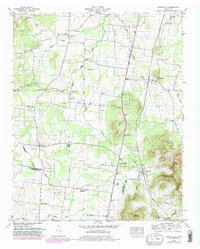
1949 Map of Fosterville
USGS Topo · Published 1980About this map
The Tennessee Valley Divide snakes through this landscape on the border of Rutherford and Bedford Counties, separating the drainages of the West Fork Stones River and the North Fork Creek. At the base of the Nebo Knobs, the rural communities of Fosterville and Christiana are positioned along the Louisville and Nashville railroad, which served as a vital transport artery for the region's agricultural economy. This 1949 survey (with 1979 revisions) captures a network of small family-named landmarks and rural institutions that defined mid-century life.
Find a feature on this map
49 named features on this map. Tap any name to fly to it.
Don’t see what you’re looking for? This feature index may not catch every label — zoom into the map to look around manually.
Map Details
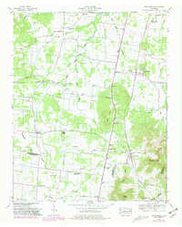
Editions of this 1949 Fosterville Map
2 editions found
Other maps of this area

1916 · Murfreesboro
USGS Topo · 1:62,500

1936 · Webbs Jungle
USGS Topo · 1:24,000

1936 · Rover
USGS Topo · 1:24,000

1936 · Deason
USGS Topo · 1:24,000

1936 · Wartrace
USGS Topo · 1:24,000

1936 · Unionville
USGS Topo · 1:24,000

1936 · Fosterville
USGS Topo · 1:24,000

1942 · Lebanon
USGS Topo · 1:100,000

1944 · Shelbyville
USGS Topo · 1:100,000
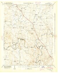
1947 · Unionville
USGS Topo · 1:24,000