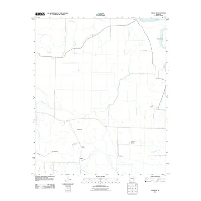
2011 Map of Fouke NE
USGS Topo · Published 2011About this map
Rock Springs Cemetery and the Garland City Oil and Gas Field anchor this Miller County landscape, where the shifting hydrology of the Red River valley has left a series of oxbow features. The drainage patterns of Finn Bayou and Red Chute dominate the topography, illustrating the complex alluvial nature of southwestern Arkansas. Small settlements like Dooley, Artex, and McKinney are connected by a grid of county roads, reflecting a rural economy tied to both agriculture and subsurface resource extraction. Notable terrain features such as The Mounds and Wolf Mountain provide relief in an area otherwise characterized by bayous and relic river channels, including First Old River Lake and Second Old River Lake in the northeastern corner near Hervey.
Find a feature on this map
36 named features on this map. Tap any name to fly to it.
Don’t see what you’re looking for? This feature index may not catch every label — zoom into the map to look around manually.
Map Details
Editions of this 2011 Fouke NE Map
This is the sole edition of this map. No revisions or reprints were ever made.
Other maps of this area

1951 · Homan
USGS Topo · 1:24,000

1951 · Fulton
USGS Topo · 1:24,000

1951 · Spring Hill
USGS Topo · 1:24,000

1952 · Mandeville
USGS Topo · 1:24,000

1952 · Garland
USGS Topo · 1:24,000

1952 · Fouke SE
USGS Topo · 1:24,000

1952 · Fouke
USGS Topo · 1:24,000

1952 · Fouke NE
USGS Topo · 1:24,000

1952 · Boyd Hill
USGS Topo · 1:24,000

1953 · El Dorado
USGS Topo · 1:250,000