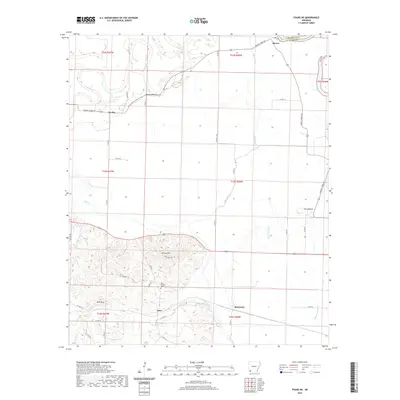
2020 Map of Fouke NE
USGS Topo · Published 2020About this map
McKinney Bayou and its surrounding wetlands define the low-lying drainage patterns of this Miller County landscape. Small rural clusters like Dooley, Artex, and McKinney sit at the intersection of local county roads, reflecting a community structure tied to the land and the Dooley Ferry Rd transit corridor. The transition from the alluvial flats of Finn Bayou and Red Chute to the more prominent elevations of Krause Hill and Wolf Mtn reveals the varied topography of southwestern Arkansas. For those tracing family histories or early land use, the presence of Rock Springs Cem and landmarks like The Mounds offer specific points of interest for identifying 20th-century rural settlements. The map illustrates how roads like Co RD 113 and Co RD 21 connected these small hamlets, linking them across a terrain dominated by bayous and winding creeks.
Find a feature on this map
45 named features on this map. Tap any name to fly to it.
Don’t see what you’re looking for? This feature index may not catch every label — zoom into the map to look around manually.
Map Details
Editions of this 2020 Fouke NE Map
This is the sole edition of this map. No revisions or reprints were ever made.
Other maps of this area

1951 · Homan
USGS Topo · 1:24,000

1951 · Fulton
USGS Topo · 1:24,000

1951 · Spring Hill
USGS Topo · 1:24,000

1952 · Mandeville
USGS Topo · 1:24,000

1952 · Garland
USGS Topo · 1:24,000

1952 · Fouke SE
USGS Topo · 1:24,000

1952 · Fouke
USGS Topo · 1:24,000

1952 · Fouke NE
USGS Topo · 1:24,000

1952 · Boyd Hill
USGS Topo · 1:24,000

1953 · El Dorado
USGS Topo · 1:250,000