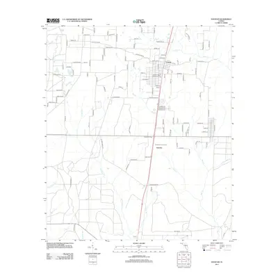
2012 Map of Fountain
USGS Topo · Published 2012About this map
Fountain stands as a focal point in this portion of Bay County, situated near the headwaters of numerous creeks that define the local geography. The area is characterized by a dense network of watercourses including Juniper Cr, Bear Cr, and Reedy Cr, illustrating the intricate drainage patterns typical of the Florida panhandle. The settlement of Saunders and the presence of the Youngstown Lookout Tower along the primary north-south corridor suggest the area's significance for forest management and local transit.
Find a feature on this map
118 named features on this map. Tap any name to fly to it.
Don’t see what you’re looking for? This feature index may not catch every label — zoom into the map to look around manually.
Map Details
Editions of this 2012 Fountain Map
This is the sole edition of this map. No revisions or reprints were ever made.
Other maps of this area

1944 · Bayhead
USGS Topo · 1:24,000

1944 · Bennett
USGS Topo · 1:24,000

1945 · Juniper Creek
USGS Topo · 1:31,680

1945 · Youngstown
USGS Topo · 1:31,680

1945 · Bennett
USGS Topo · 1:31,680

1945 · Bayhead
USGS Topo · 1:31,680

1945 · Broad Branch
USGS Topo · 1:31,680

1945 · Fountain
USGS Topo · 1:31,680

1950 · Gap Lake
USGS Topo · 1:24,000

1951 · Gap Pond
USGS Topo · 1:24,000