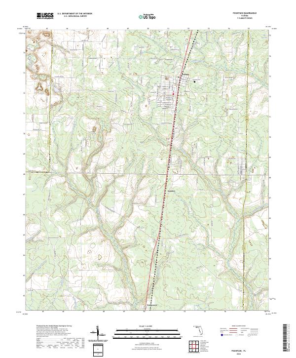
2024 Map of Fountain
USGS Topo · Published 2024About this map
Fountain and the surrounding pine-rich lowlands of northern Bay County are meticulously documented in this modern survey, capturing the region's transition into the 2020s. The settlement pattern remains concentrated along the north-south transit corridor, with Youngstown and the community of Saunders serving as local anchors. Family history and local heritage are anchored by the Fountain Cem, situated near the headwaters of several critical drainage systems.
Find a feature on this map
116 named features on this map. Tap any name to fly to it.
Don’t see what you’re looking for? This feature index may not catch every label — zoom into the map to look around manually.
Map Details
Editions of this 2024 Fountain Map
This is the sole edition of this map. No revisions or reprints were ever made.
Other maps of this area

1944 · Bayhead
USGS Topo · 1:24,000

1944 · Bennett
USGS Topo · 1:24,000

1945 · Juniper Creek
USGS Topo · 1:31,680

1945 · Youngstown
USGS Topo · 1:31,680

1945 · Bennett
USGS Topo · 1:31,680

1945 · Bayhead
USGS Topo · 1:31,680

1945 · Broad Branch
USGS Topo · 1:31,680

1945 · Fountain
USGS Topo · 1:31,680

1950 · Gap Lake
USGS Topo · 1:24,000

1951 · Gap Pond
USGS Topo · 1:24,000