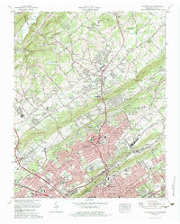
1978 Map of Fountain City
USGS Topo · Published 1979About this map
The expanding northern suburbs of Knoxville and the established community of Fountain City dominate this 1970s Tennessee landscape. The area is defined by its characteristic long, parallel ridges, including Bullrun Ridge, Copper Ridge, and Blackoak Ridge, which direct the flow of waterways like Beaver Creek and Bullrun Creek. This survey captures a moment of significant infrastructure, showing the Southern railroad line and major thoroughfares like the Norris Freeway and Maynardville Pike connecting residential developments to the city center.
Find a feature on this map
185 named features on this map. Tap any name to fly to it.
Don’t see what you’re looking for? This feature index may not catch every label — zoom into the map to look around manually.
Map Details
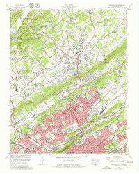
Editions of this 1978 Fountain City Map
2 editions found
Other maps of this area

1886 · Knoxville
USGS Topo · 1:125,000

1892 · Knoxville
USGS Topo · 1:125,000

1893 · Briceville
USGS Topo · 1:125,000

1894 · Knoxville
USGS Topo · 1:125,000

1895 · Loudon
USGS Topo · 1:125,000

1895 · Briceville
USGS Topo · 1:125,000

1895 · Knoxville
USGS Topo · 1:125,000

1896 · Briceville
USGS Topo · 1:125,000

1897 · Maynardville
USGS Topo · 1:125,000

1900 · Maynardville
USGS Topo · 1:125,000