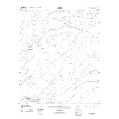
2011 Map of Fountain Lake
USGS Topo · Published 2011About this map
Fountain Lake serves as a central landmark in this portion of Garland County, where the topography is defined by the ridgelines of Indian Mountain and Grapevine Mountain. The landscape is etched by a complex drainage system, including the South Fork Saline River, Tenmile Creek, and the Middle Branch Gulpha Creek. Human settlement is concentrated around small hubs such as Whittington and Morning Star, with local history preserved at sites like Beth Jacob Cemetery, Medlock Cemetery, and McClendon Cemetery.
Find a feature on this map
143 named features on this map. Tap any name to fly to it.
Don’t see what you’re looking for? This feature index may not catch every label — zoom into the map to look around manually.
Map Details
Editions of this 2011 Fountain Lake Map
This is the sole edition of this map. No revisions or reprints were ever made.
Other maps of this area

1890 · Benton
USGS Topo · 1:125,000

1890 · Hot Springs
USGS Topo · 1:125,000

1894 · Hot Springs
USGS Topo · 1:125,000

1894 · Benton
USGS Topo · 1:125,000

1948 · Malvern
USGS Topo · 1:62,500

1949 · Malvern
USGS Topo · 1:62,500

1955 · Little Rock
USGS Topo · 1:250,000

1956 · Little Rock
USGS Topo · 1:250,000

1960 · Little Rock
USGS Topo · 1:250,000

1964 · Little Rock
USGS Topo · 1:250,000