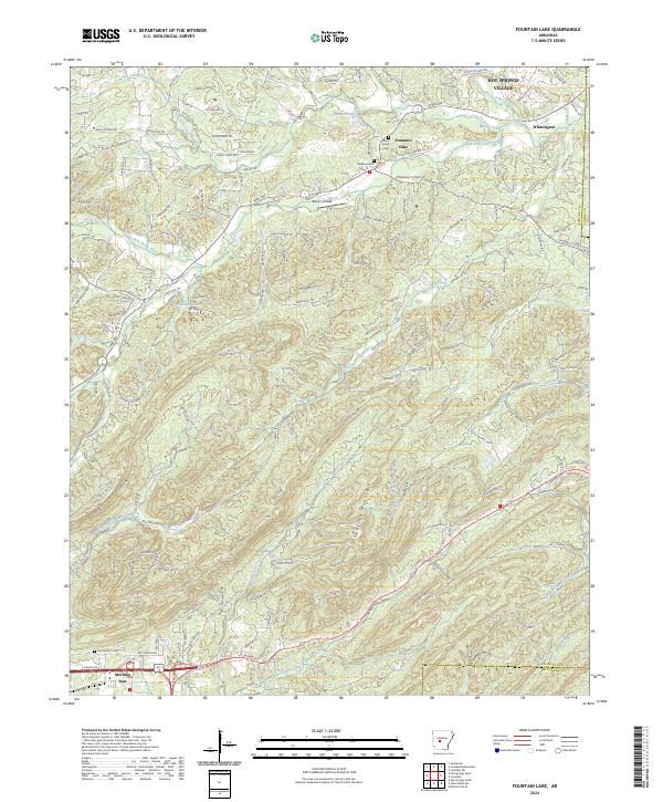
2024 Map of Fountain Lake
USGS Topo · Published 2024About this map
Grapevine Mountain and Indian Mountain dominate the terrain of this Garland County landscape, where the ridges and valleys are defined by an intricate network of drainage including Lockett Creek and the South Fork Saline River. The settlement pattern reflects the transition from established communities like Whittington and Morning Star to the structured expansion of Hot Springs Village in the north. This modern survey captures the persistence of local family history through its cemeteries, such as Medlock Cem and Beth Jacob Cem, located near the namesake Fountain Lake. Local transport and aviation history are represented by Benoit Airfield, while the rugged southern reaches are carved by the East Branch Gulpha Creek, illustrating the complex topography that has shaped development in central Arkansas.
Find a feature on this map
180 named features on this map. Tap any name to fly to it.
Don’t see what you’re looking for? This feature index may not catch every label — zoom into the map to look around manually.
Map Details
Editions of this 2024 Fountain Lake Map
This is the sole edition of this map. No revisions or reprints were ever made.
Other maps of this area

1890 · Benton
USGS Topo · 1:125,000

1890 · Hot Springs
USGS Topo · 1:125,000

1894 · Hot Springs
USGS Topo · 1:125,000

1894 · Benton
USGS Topo · 1:125,000

1948 · Malvern
USGS Topo · 1:62,500

1949 · Malvern
USGS Topo · 1:62,500

1955 · Little Rock
USGS Topo · 1:250,000

1956 · Little Rock
USGS Topo · 1:250,000

1960 · Little Rock
USGS Topo · 1:250,000

1964 · Little Rock
USGS Topo · 1:250,000