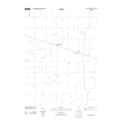
2013 Map of Fountaintown
USGS Topo · Published 2013About this map
Fountaintown and the nearby settlements of Carrollton and Reedville Station anchor this rural landscape in central Indiana. The area is defined by an intricate network of agricultural drainage infrastructure, including named watercourses such as Hamilton Ditch, Snodgrass Ditch, and Sexton Ditch, which channel water toward natural streams like Brandywine Cr and Little Sugar Cr. This elaborate system of ditches suggests a landscape historically managed for high-yield farming, where natural hydrology has been significantly modified to support the region's agricultural economy.
Find a feature on this map
85 named features on this map. Tap any name to fly to it.
Don’t see what you’re looking for? This feature index may not catch every label — zoom into the map to look around manually.
Map Details
Editions of this 2013 Fountaintown Map
This is the sole edition of this map. No revisions or reprints were ever made.
Other maps of this area

1952 · Cumberland
USGS Topo · 1:24,000

1952 · Greenfield
USGS Topo · 1:24,000

1952 · Fountaintown
USGS Topo · 1:24,000

1953 · Shelbyville
USGS Topo · 1:24,000

1953 · Acton
USGS Topo · 1:24,000

1953 · Boggstown
USGS Topo · 1:24,000

1953 · Cincinnati
USGS Topo · 1:250,000

1956 · Cleveland
USGS Topo · 1:24,000

1956 · Morristown
USGS Topo · 1:24,000

1956 · Rays Crossing
USGS Topo · 1:24,000