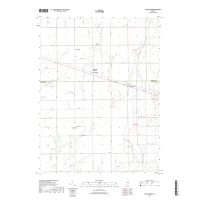
2019 Map of Fountaintown
USGS Topo · Published 2019About this map
Brandywine Creek meanders through the eastern portions of this landscape, carving a natural path through the agricultural grid of Shelby and Hancock Counties. The settlement at Fountaintown serves as a local hub near the boundary line, while further north, the distinct communities of Reedville Station and Carrollton remain oriented along the traditional road and rail corridors. The landscape is defined by an intricate network of drainage ditches, such as Ashcraft Ditch and Sexton Ditch, which underscore the region's managed agricultural history. Family roots and early settlement patterns are well-documented through numerous burial grounds scattered across the townships, including Fairview Cem, Concord Cem, and Fisher Cem. These landmarks, along with features like the Farm Strip, illustrate a persistent rural character that has remained remarkably consistent even as the surrounding region has developed.
Find a feature on this map
82 named features on this map. Tap any name to fly to it.
Don’t see what you’re looking for? This feature index may not catch every label — zoom into the map to look around manually.
Map Details
Editions of this 2019 Fountaintown Map
This is the sole edition of this map. No revisions or reprints were ever made.
Other maps of this area

1952 · Cumberland
USGS Topo · 1:24,000

1952 · Greenfield
USGS Topo · 1:24,000

1952 · Fountaintown
USGS Topo · 1:24,000

1953 · Shelbyville
USGS Topo · 1:24,000

1953 · Acton
USGS Topo · 1:24,000

1953 · Boggstown
USGS Topo · 1:24,000

1953 · Cincinnati
USGS Topo · 1:250,000

1956 · Cleveland
USGS Topo · 1:24,000

1956 · Morristown
USGS Topo · 1:24,000

1956 · Rays Crossing
USGS Topo · 1:24,000