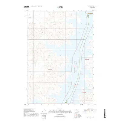
2017 Map of Four Bear Creek
USGS Topo · Published 2017About this map
Lake Oahe dominates the landscape along the borders of Dewey, Potter, and Walworth counties, shaping a complex shoreline of numerous inlets and bays. This 2017 survey details the dramatic hydrology of the Missouri River reservoir, where the waters of Buffalo Bay and Steamboat Bay cut deep into the surrounding prairie terrain. The map captures the intersection of rural land management and tribal transportation, with Bia Hwy 808 providing access to the northern reaches near Four Bear Cr. Genealogists and local historians can trace the intricate network of water features, from the smaller Buck Cr and Buffalo Cr to the expansive Swift Bird Bay and Dodge Bay in the south. The township and range lines reflect the systematic organization of the Dakota landscape, contrasted against the jagged, natural boundaries created by the rising reservoir waters.
Find a feature on this map
16 named features on this map. Tap any name to fly to it.
Don’t see what you’re looking for? This feature index may not catch every label — zoom into the map to look around manually.
Map Details
Editions of this 2017 Four Bear Creek Map
This is the sole edition of this map. No revisions or reprints were ever made.
Other maps of this area

1953 · McIntosh
USGS Topo · 1:250,000

1958 · McIntosh
USGS Topo · 1:250,000

1968 · Akaska SW
USGS Topo · 1:24,000

1968 · Moreau
USGS Topo · 1:24,000

1968 · Moreau SE
USGS Topo · 1:24,000

1969 · Patch Skin Buttes SW
USGS Topo · 1:24,000

1969 · Four Bear Creek
USGS Topo · 1:24,000

1969 · Patch Skin Buttes SE
USGS Topo · 1:24,000

1970 · Steamboat Creek
USGS Topo · 1:24,000

1970 · Patch Skin Buttes
USGS Topo · 1:24,000