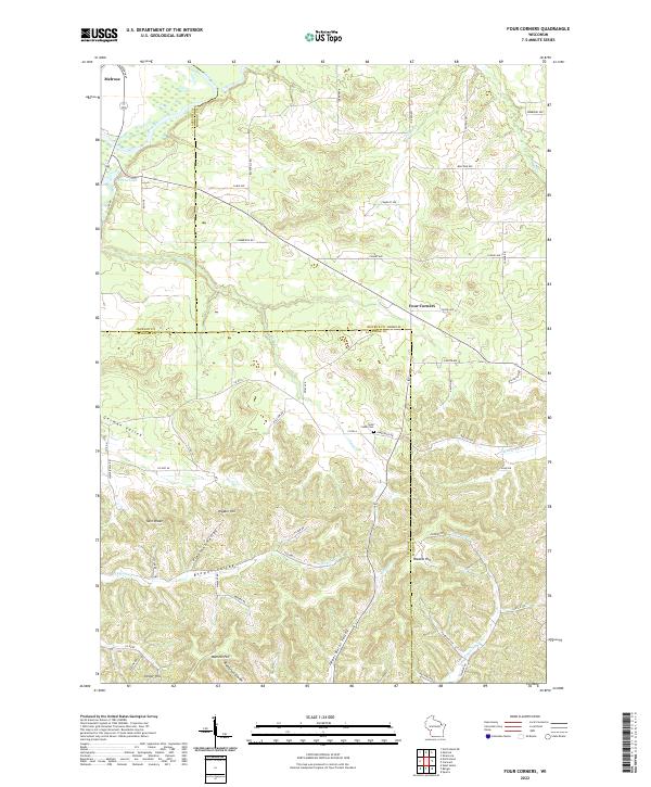
2022 Map of Four Corners
USGS Topo · Published 2022About this map
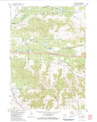
The tri-county intersection of Jackson, La Crosse, and Monroe counties defines this driftless landscape, where ridges and coulees dictate the patterns of rural settlement. In the southeast, the small crossroads of Four Corners sits atop the high ground above Upper Burns Valley, while the periphery of Melrose occupies the northwest corner near Stevens Lake. The terrain is characterized by numerous named heights, including Hippler Hill, Wadels Hill, Heller Hill, and the prominent Twin Peaks.
Find a feature on this map
70 named features on this map. Tap any name to fly to it.
Don’t see what you’re looking for? This feature index may not catch every label — zoom into the map to look around manually.
Map Details
Editions of this 2022 Four Corners Map
This is the sole edition of this map. No revisions or reprints were ever made.
Historical Maps of Jackson County Through Time
15 maps found

1976 Sparta NE
Monroe County, WI
1976 Tomah NE
Monroe County, WI
1976 Tomah NW
Monroe County, WI
1983 Alderwood Lake
Monroe County, WI
1983 City Rock
Monroe County, WI
1983 Four Corners
Monroe County, WI
1983 Kendall East
Monroe County, WI
1983 Kendall West
Monroe County, WI
1983 St. Marys
Monroe County, WI
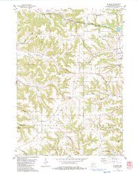
2022 Alderwood Lake
Monroe County, WI
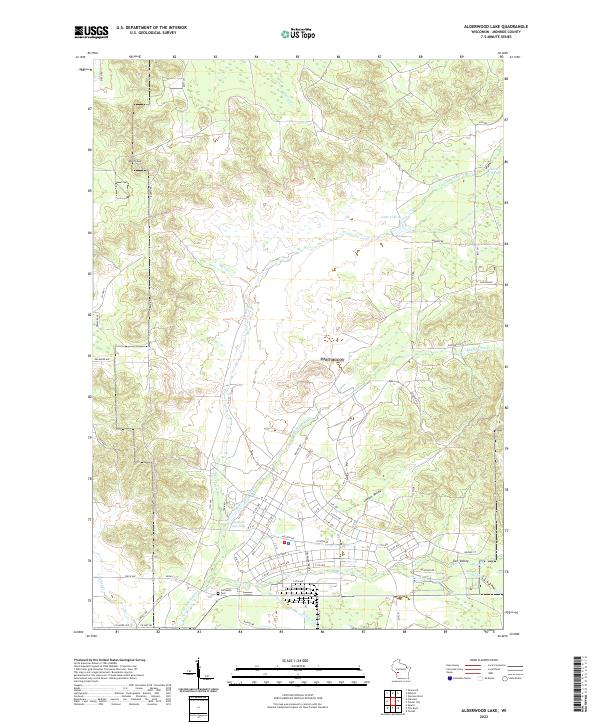
2022 City Rock
Monroe County, WI
2022 Four Corners
Monroe County, WI
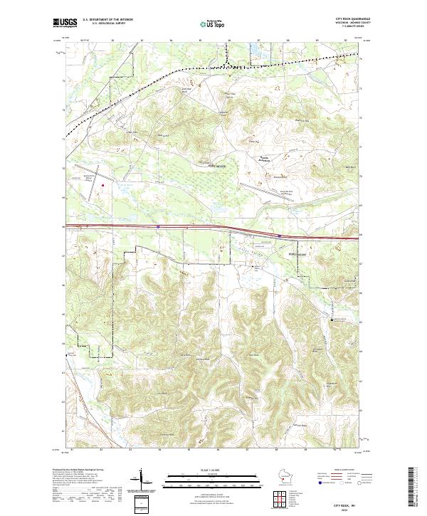
2022 Kendall East
Monroe County, WI
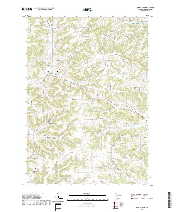
2022 Kendall West
Monroe County, WI

2022 Saint Marys
Monroe County, WI