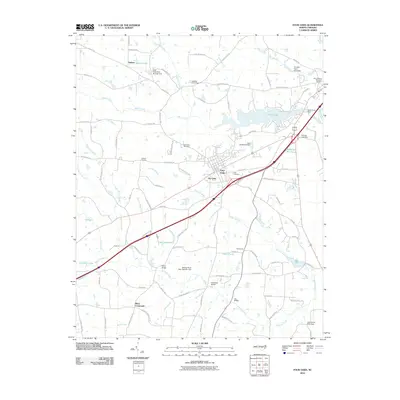
2010 Map of Four Oaks
USGS Topo · Published 2010About this map
Four Oaks stands as the central hub of this Johnston County landscape, situated at the confluence of several regional roads and drainage networks. The settlement patterns reflect a rural economy deeply tied to the water, with numerous ponds and swamps defining the property lines and travel routes. Named crossings such as Parker Bridge, Hockaday Bridge, and Lee Bridge span the meandering course of Hannah Creek, while Black Creek feeds into the larger Holts Lake to the east.
Find a feature on this map
104 named features on this map. Tap any name to fly to it.
Don’t see what you’re looking for? This feature index may not catch every label — zoom into the map to look around manually.
Map Details
Editions of this 2010 Four Oaks Map
This is the sole edition of this map. No revisions or reprints were ever made.
Other maps of this area

1906 · Four Oaks
USGS Topo · 1:48,000

1908 · Four Oaks
USGS Topo · 1:62,500

1953 · Raleigh
USGS Topo · 1:250,000

1954 · Raleigh
USGS Topo · 1:250,000

1964 · Selma
USGS Topo · 1:62,500

1964 · Edmondson
USGS Topo · 1:24,000

1964 · Garner
USGS Topo · 1:62,500

1964 · Powhatan
USGS Topo · 1:24,000

1964 · Selma
USGS Topo · 1:24,000

1973 · Benson
USGS Topo · 1:24,000