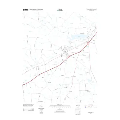
2013 Map of Four Oaks
USGS Topo · Published 2013About this map
Four Oaks serves as the central hub for this Johnston County landscape, situated where major transit corridors intersect a complex network of wetlands and creeks. The town's proximity to Holts Lake and Massengill Mill Pond reflects a long history of water management and local industry in the Coastal Plain. The surrounding countryside is dotted with established crossroads and rural clusters including Durham Corners, Allens Crossroads, and Spilona, which reveal the traditional settlement patterns of the region.
Find a feature on this map
141 named features on this map. Tap any name to fly to it.
Don’t see what you’re looking for? This feature index may not catch every label — zoom into the map to look around manually.
Map Details
Editions of this 2013 Four Oaks Map
This is the sole edition of this map. No revisions or reprints were ever made.
Other maps of this area

1906 · Four Oaks
USGS Topo · 1:48,000

1908 · Four Oaks
USGS Topo · 1:62,500

1953 · Raleigh
USGS Topo · 1:250,000

1954 · Raleigh
USGS Topo · 1:250,000

1964 · Selma
USGS Topo · 1:62,500

1964 · Edmondson
USGS Topo · 1:24,000

1964 · Garner
USGS Topo · 1:62,500

1964 · Powhatan
USGS Topo · 1:24,000

1964 · Selma
USGS Topo · 1:24,000

1973 · Benson
USGS Topo · 1:24,000