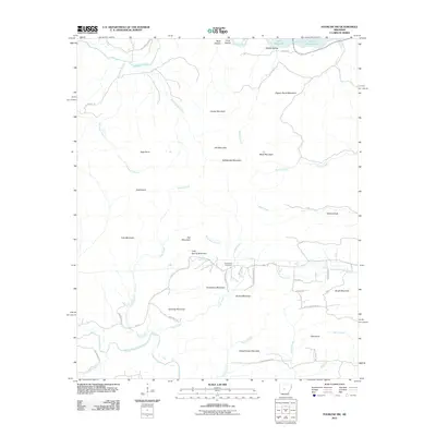
2011 Map of Fourche SW
USGS Topo · Published 2011About this map
Cold Spring Cemetery and the surrounding heights of Schoolhouse Mountain dominate the central landscape of this Pulaski County region. The terrain is defined by a dense network of ridges and peaks, including Pigeon Roost Mountain, Crystal Mountain, and Jennings Mountain, which channel the flow of the Maumelle River and its various tributaries. To the northeast, the presence of Lake Maumelle marks a significant water resource, while the Little Maumelle River winds through the southern foothills. This area exhibits a scattered residential pattern connected by rural routes such as Cave Creek Rd and Cold Springs Rd, illustrating the intersection of natural topography and local settlement. The drainage divide is evident as waters flow toward either the Maumelle system or south into the North Fork Saline River.
Find a feature on this map
54 named features on this map. Tap any name to fly to it.
Don’t see what you’re looking for? This feature index may not catch every label — zoom into the map to look around manually.
Map Details
Editions of this 2011 Fourche SW Map
This is the sole edition of this map. No revisions or reprints were ever made.
Other maps of this area

1890 · Benton
USGS Topo · 1:125,000

1894 · Benton
USGS Topo · 1:125,000

1938 · Benton
USGS Topo · 1:48,000

1944 · Benton
USGS Topo · 1:62,500

1955 · Little Rock
USGS Topo · 1:250,000

1956 · Little Rock
USGS Topo · 1:250,000

1960 · Little Rock
USGS Topo · 1:250,000
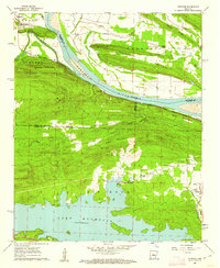
1961 · Fourche
USGS Topo · 1:24,000
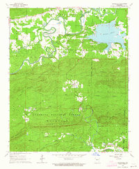
1963 · Thornburg
USGS Topo · 1:24,000

1963 · Fourche SW
USGS Topo · 1:24,000