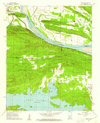
1961 Map of Fourche
USGS Topo · Published 1962About this map
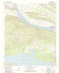
Lake Maumelle dominates the southern portion of this landscape, its expansive waters meeting the rising slopes of Big Rock and the high ridges of the Ouachita foothills. The northern half is defined by the sweeping curves of the Arkansas River, where the Chicago Rock Island and Pacific railroad tracks follow the river's path through the small communities of Bigelow and Fourche. This 1961 field-checked survey reveals a rural landscape transitioning from river-bottom agriculture to more rugged upland terrain.
Find a feature on this map
37 named features on this map. Tap any name to fly to it.
Don’t see what you’re looking for? This feature index may not catch every label — zoom into the map to look around manually.
Map Details
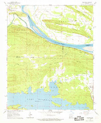
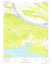
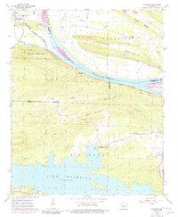
Editions of this 1961 Fourche Map
5 editions found
Other maps of this area

1890 · Benton
USGS Topo · 1:125,000

1891 · Little Rock
USGS Topo · 1:125,000

1892 · Morrillton
USGS Topo · 1:125,000

1893 · Little Rock
USGS Topo · 1:125,000

1894 · Morrillton
USGS Topo · 1:125,000

1894 · Benton
USGS Topo · 1:125,000

1943 · Pinnacle Mtn
USGS Topo · 1:31,680

1953 · Mayflower
USGS Topo · 1:24,000
1954 · Pinnacle Mountain
USGS Topo · 1:24,000

1955 · Little Rock
USGS Topo · 1:250,000