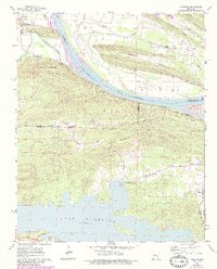
1961 Map of Fourche
USGS Topo · Published 1984About this map
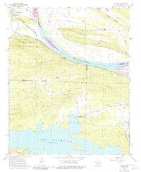
The Arkansas River serves as the dominant geographic boundary on this 1961 survey, separating Faulkner and Perry counties as it winds past Lollie and Ledwidge. The landscape south of the river is defined by the high ridges of Kryer Mountain and Moss Mountain, where the unique upland settlement of Little Italy sits near the St Francis Cem. This interior region, though dissected by steep terrain and Ross Hollow, shows a clear pattern of rural development focused around family-named corners and community churches.
Find a feature on this map
38 named features on this map. Tap any name to fly to it.
Don’t see what you’re looking for? This feature index may not catch every label — zoom into the map to look around manually.
Map Details
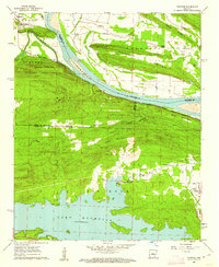
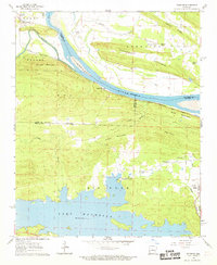
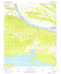
Editions of this 1961 Fourche Map
5 editions found
Other maps of this area

1890 · Benton
USGS Topo · 1:125,000

1891 · Little Rock
USGS Topo · 1:125,000

1892 · Morrillton
USGS Topo · 1:125,000

1893 · Little Rock
USGS Topo · 1:125,000

1894 · Morrillton
USGS Topo · 1:125,000

1894 · Benton
USGS Topo · 1:125,000

1943 · Pinnacle Mtn
USGS Topo · 1:31,680

1953 · Mayflower
USGS Topo · 1:24,000
1954 · Pinnacle Mountain
USGS Topo · 1:24,000

1955 · Little Rock
USGS Topo · 1:250,000