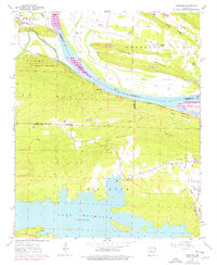
1961 Map of Fourche
USGS Topo · Published 1976About this map
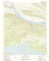
Lake Maumelle dominates the southern landscape of this survey, where the recently flooded reservoir meets the rising elevations of Kryer Mountain and Moss Mountain. This mid-century view documents a transition in central Arkansas as the Arkansas River continues to shape the northern boundary, passing the small settlement of Lollie and the community of Little Italy. The river valley is defined by the heavy infrastructure of the Chicago Rock Island and Pacific railroad, which parallels the water through Ledwidge and Fourche.
Find a feature on this map
38 named features on this map. Tap any name to fly to it.
Don’t see what you’re looking for? This feature index may not catch every label — zoom into the map to look around manually.
Map Details
Editions of this 1961 Fourche Map
5 editions found
Other maps of this area

1890 · Benton
USGS Topo · 1:125,000

1891 · Little Rock
USGS Topo · 1:125,000

1892 · Morrillton
USGS Topo · 1:125,000

1893 · Little Rock
USGS Topo · 1:125,000

1894 · Morrillton
USGS Topo · 1:125,000

1894 · Benton
USGS Topo · 1:125,000

1943 · Pinnacle Mtn
USGS Topo · 1:31,680

1953 · Mayflower
USGS Topo · 1:24,000
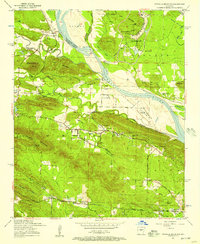
1954 · Pinnacle Mountain
USGS Topo · 1:24,000

1955 · Little Rock
USGS Topo · 1:250,000